
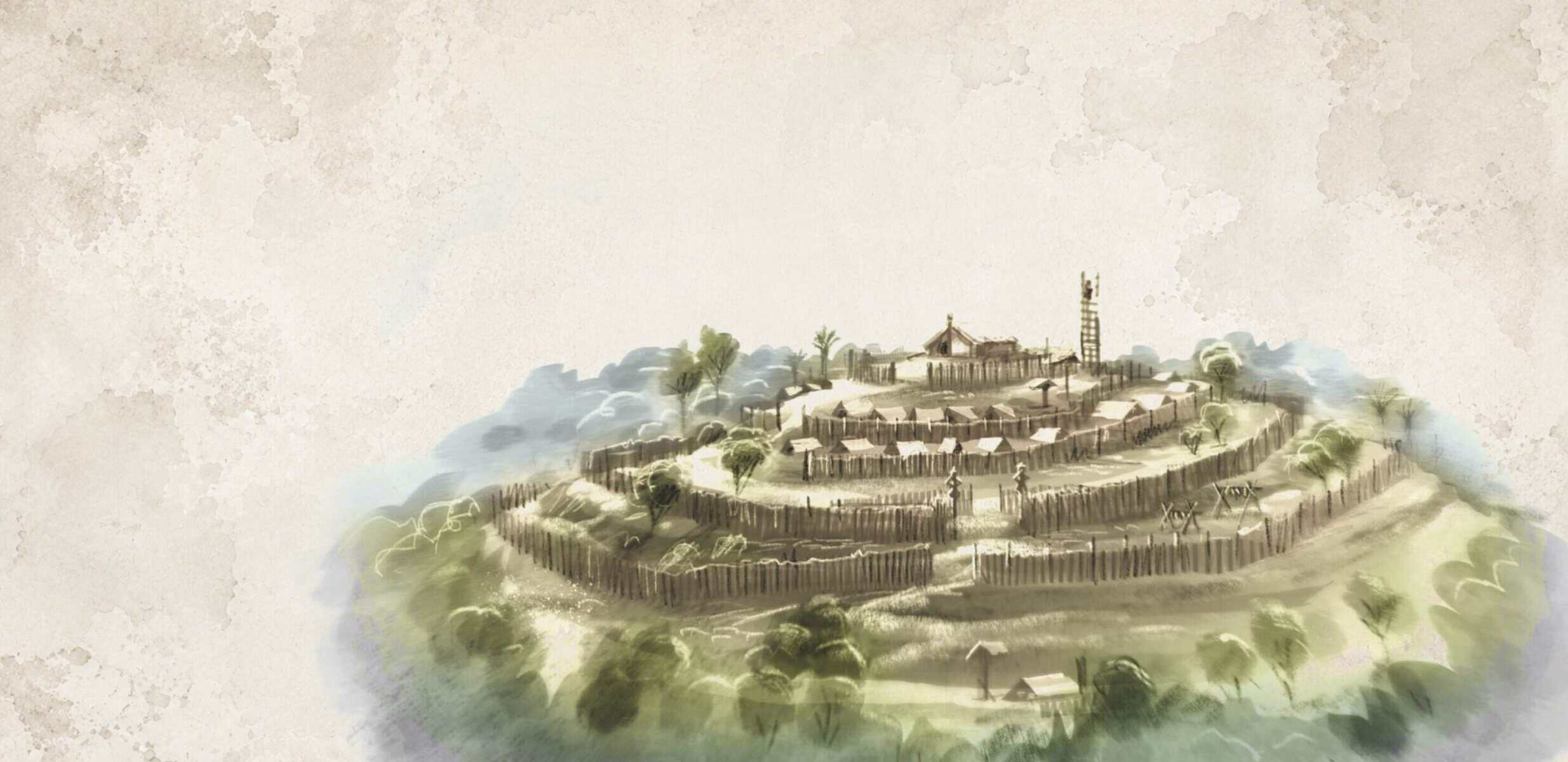
Long before European settlement, Tāmaki Makaurau’s volcanic landscape was one of the most desirable and heavily populated areas in Aotearoa New Zealand.
Its fertile soils, twin harbours, abundant seafood, and commanding hilltops made it a prize worth competing for.
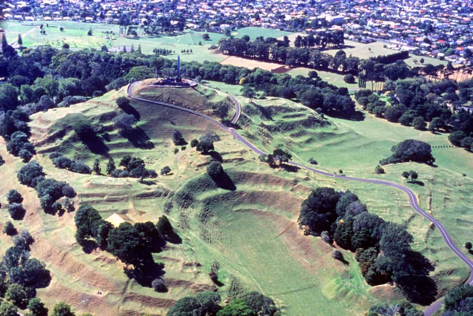
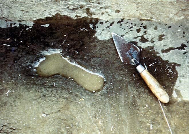
Māori are the only people known to have witnessed an eruption (at Rangitoto) in the Auckland Volcanic Field, and by the 1500s archaeological evidence places them living on at least nine volcanic cones.
They shaped these landscapes profoundly: terracing the slopes for cultivation, digging pits to store kumara, establishing middens, and fortifying the summits as pā (defensive posts) with ditches and palisades. Cones were often divided into wedges from the summit downward, ensuring each hapū had fair access to coastal areas, defensive high points, and the broader region. The evidence of this occupation, shells, bones, and oval-shaped storage pits, can still be found in the volcanic soil today. More information is available at the Tūpuna Maunga Authority website.
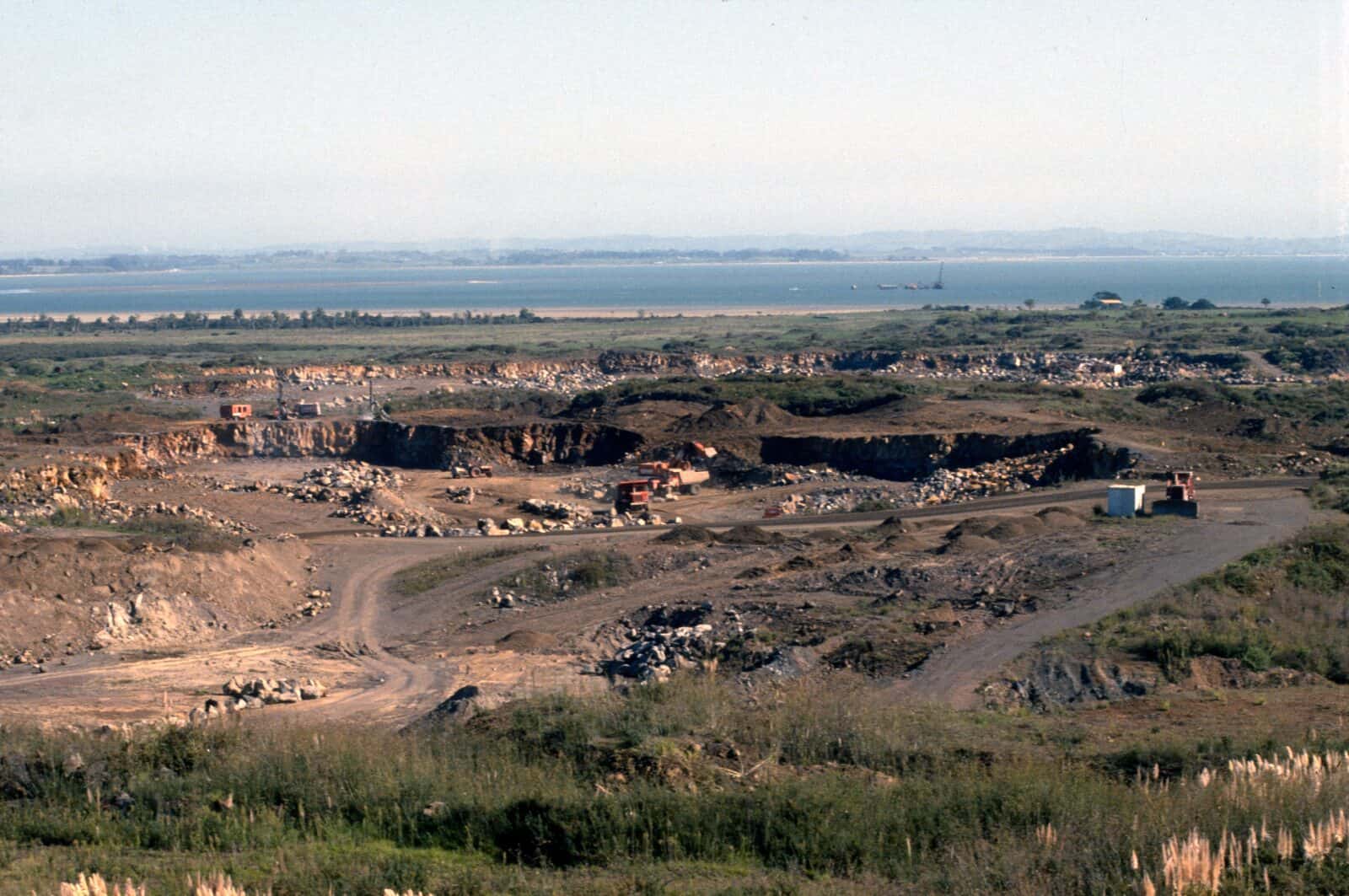
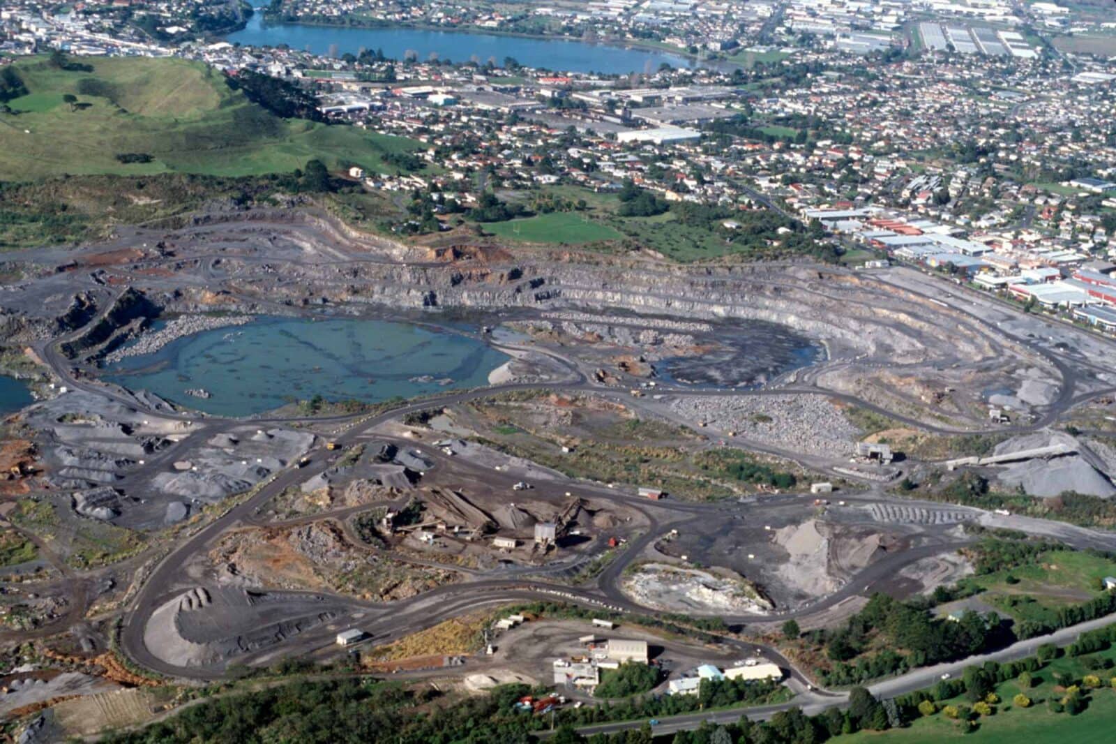
When European settlement began in earnest in 1840, this carefully inhabited landscape was increasingly treated as a resource to be exploited. The city’s 38 scoria cones and 16 explosion craters were quarried for road-building stone, drained for sports fields and highways, and repurposed for industry and recreation, from water skiing in maar craters to vineyards in old explosion pits. Some early conservation efforts preserved a handful of cones as parks, but the demand for land and building materials proved overwhelming.
The cost of this development has been severe. Today, only two of the original 38 scoria cones remain untouched, and none of the explosion craters have escaped modification.
Some volcanoes have been so heavily quarried that their central cones have disappeared entirely, including Maungataketake, whose name ironically translates to "everlasting mountain" in Māori. Efforts to restore damaged landforms are underway in some locations, using biosolids and other materials to reconstruct original shapes, but destruction has far outpaced preservation.
The struggle to protect what remains continues on legal, cultural, and political fronts.
Near Maungataketake, the Ihumātao area became the focus of a significant multi-year protest, successfully preventing a housing development on land confiscated from Māori in 1863, the government ultimately purchasing it back for $30 million NZD. Fourteen of Auckland’s volcanic maunga are now under the care of the Tūpuna Maunga Authority, a statutory body established in 2014 to restore and protect these ancestral mountains. A UNESCO bid has also been submitted to recognise the Auckland Volcanic Field as a Mixed Cultural and Natural Heritage site, and researchers are mapping volcanic sites as educational destinations, small but meaningful steps toward ensuring that what remains of this extraordinary landscape is valued before it is lost.
Keep reading
More about this topic
-
Our geology
Explaining the geological history of the Auckland Volcanic Field
-
Volcanic landforms and eruption deposits
Why Tāmaki Makaurau’s landscape looks the way it does
-
How distributed volcanic fields work
Instead of most eruptions taking place at one central vent at the summit, eruptions in volcanic fields usually take place from a new vent in a new location.
-
Frequency of eruptions
The chance of a future eruption is roughly 10% over the next 50 years, based on a gap of about 500 years between eruptions over the last 60,000 years.
-
Hochstetter's map
The 1859 map of the Auckland isthmus and its volcanoes, and who really drew it