
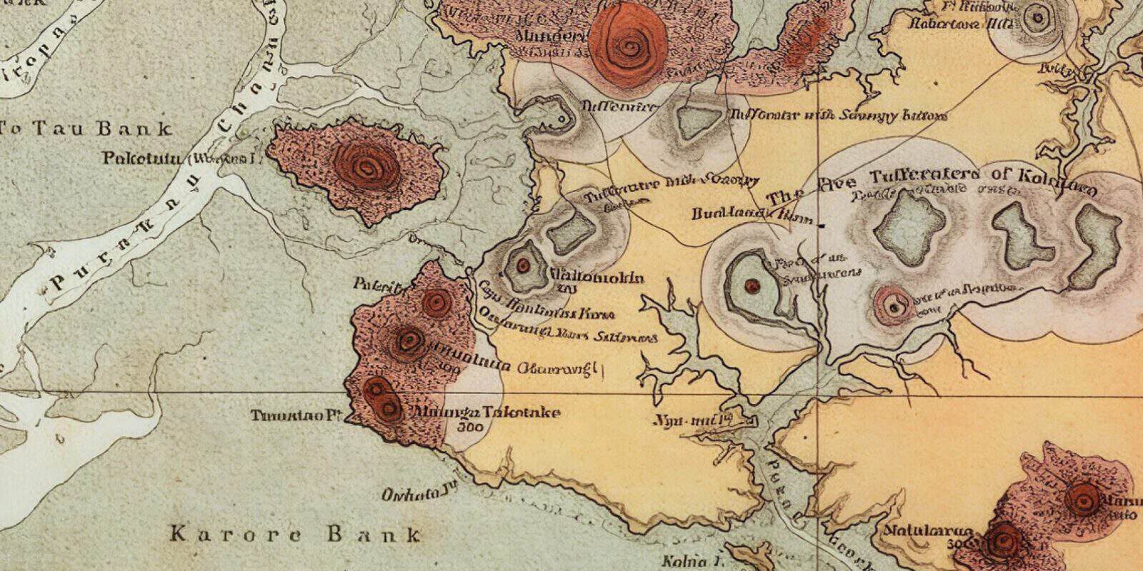
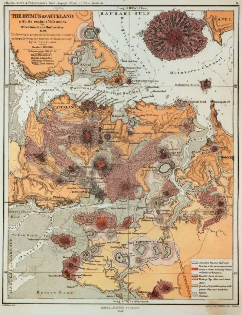
For volcanologists, the map of the ‘Isthmus of Auckland with its Extinct Volcanoes’ often credited to German scientist Ferdinand von Hochstetter in 1859 is a fascinating historical artefact.
It maps out volcanic craters, scoria cones and lava streams with Rangitoto in the top right corner.
Hochstetter arrived in New Zealand on the Austrian man-of-war His Majesty’s Frigate Novara. He was here for only nine months, but his geological and topographical survey resulted in Aotearoa New Zealand’s first atlas (published in 1864). Auckland City Library holds the original version and sometimes allow public viewings.
Was it the amiable disposition of the inhabitants? Was it the ties of friendship, that I formed there? Or was it the grandeur and peculiarity of the natural features of a country, appearing in its isolation like a world of its own, that attracted me so strongly? I cannot say; but I still look back with enthusiasm to my stay in the Antipodes.
Ferdinand von Hochstetter, 1863.
Controversy
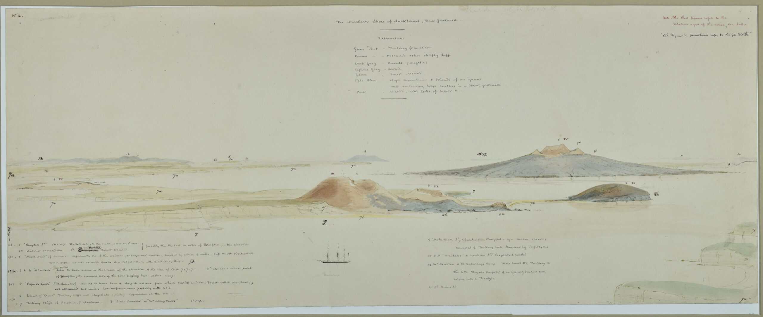
However, there is controversy about who drew the map. Charles Heaphy, the Provincial Surveyor of Auckland, accompanied Hochstetter on many of his travels around Auckland.
Based on the highly developed state of Heaphy’s 1859 manuscript map, today, authorship of Hochstetter’s published map would likely be given jointly to Hochstetter and Heaphy, with Hochstetter the senior author. Unfortunately, the long-term outcome of this controversy was predictable, and the two former friends never communicated again.
Keep reading
More about this topic
-
Our geology
Explaining the geological history of the Auckland Volcanic Field
-
Volcanic landforms and eruption deposits
Why Tāmaki Makaurau’s landscape looks the way it does
-
How distributed volcanic fields work
Instead of most eruptions taking place at one central vent at the summit, eruptions in volcanic fields usually take place from a new vent in a new location.
-
Frequency of eruptions
The chance of a future eruption is roughly 10% over the next 50 years, based on a gap of about 500 years between eruptions over the last 60,000 years.
-
Human geography
The impact of humans on Tāmaki Makaurau Auckland