
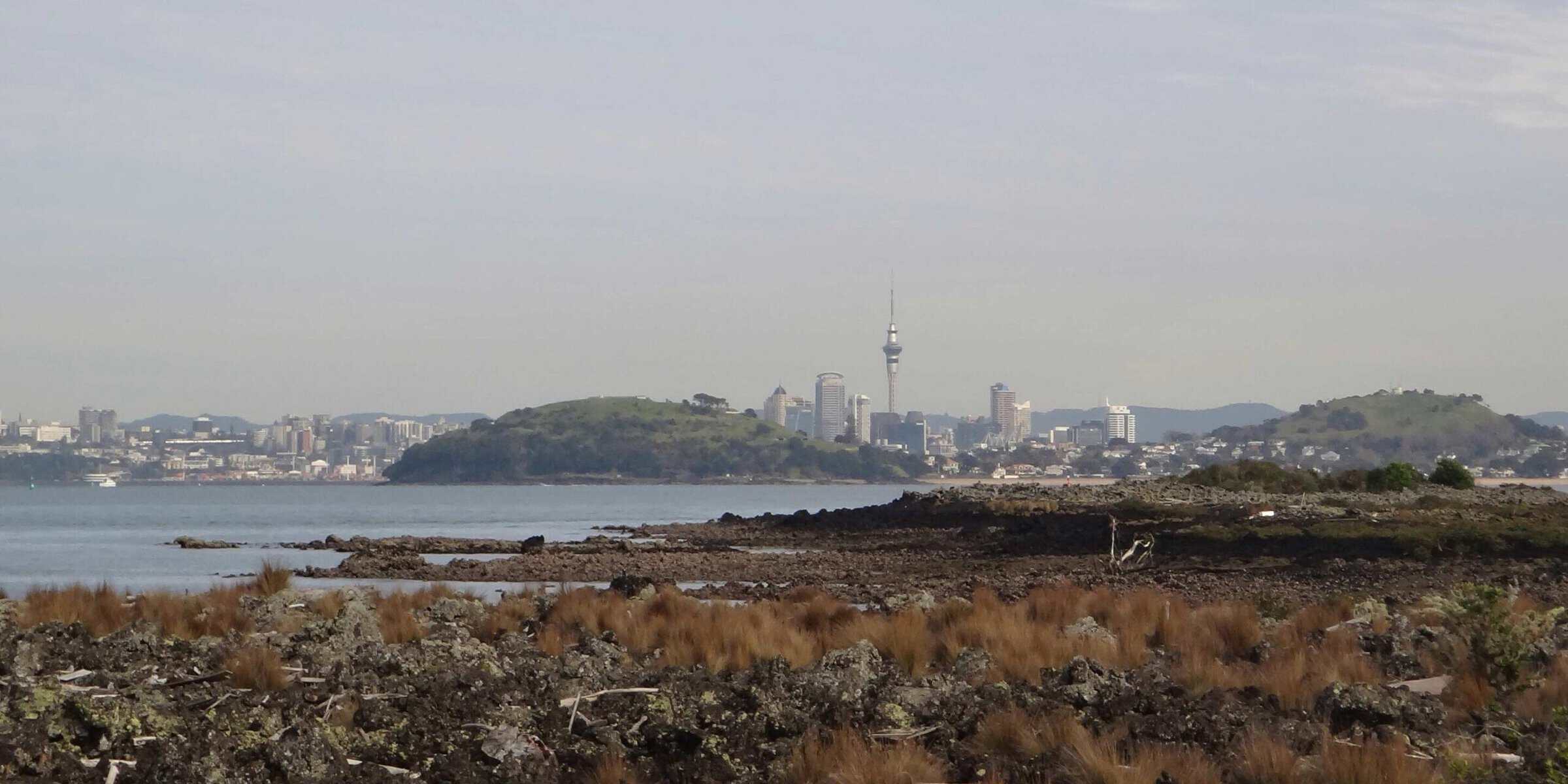
Albert Park
Albert Park was a small volcano that erupted about 145,000 years ago, starting with wet explosive eruptions that deposited up to 8m of volcanic ash over the surrounding land. Then the vent switched to dry fountaining and built up a small scoria mound, which was found during excavations for downtown buildings. Lava flow oozed for several hundred metres down what later became Queen Street.
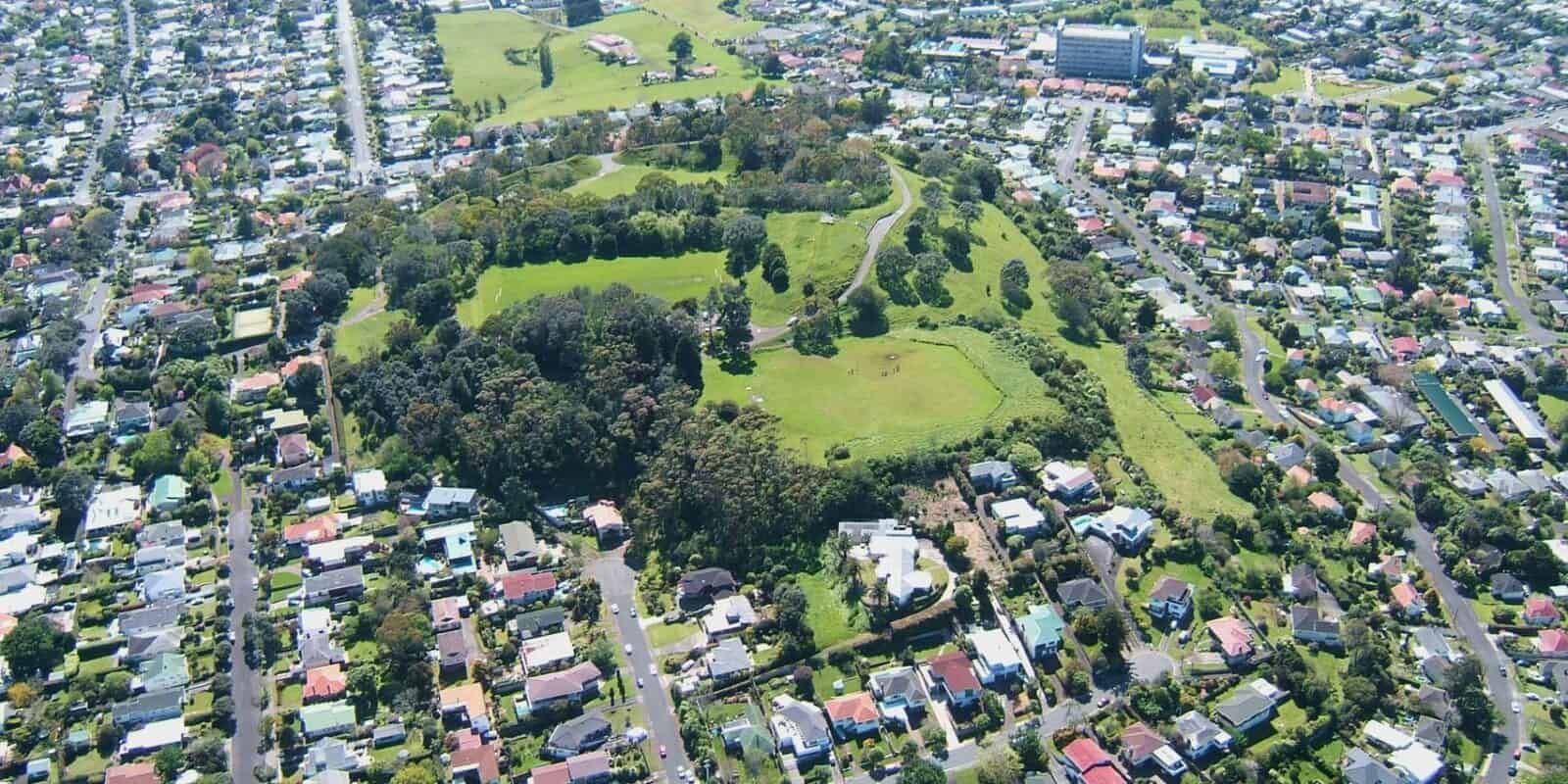
Albert Park Volcano isn’t actually in Albert Park. Instead, it’s down in lower Queen St, but no land formation remains and most of what is known about it comes from Ferdinand von Hochstetter’s description in 1859. The lava flow has made building foundations along Queen Street quite difficult.
Grafton
You can’t see anything of this 100,000 year-old volcano today, as it was largely buried beneath volcanic ash from the eruption of Pukekawa/Auckland Domain Volcano. Researchers think the area between Outhwaite Park and Auckland Hospital sits on top of 30m of solid basalt, which was probably a former lava lake and explosion crater about 300m in diameter. What remains of the Grafton Volcano’s scoria mound and tuff ring forms Outhwaite Park.
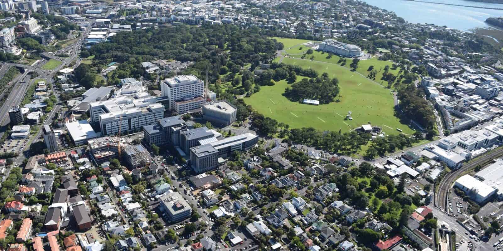
Pukekawa / Auckland Domain
The Auckland Domain sprawls over one of Auckland’s older volcanoes. It is thought Pukekawa erupted roughly 100,000 years ago through the older Grafton Volcano tuff ring.
Auckland Domain has a simple castle-and-moat layout with a small central scoria cone inside a large, shallow explosion crater with a surrounding tuff ring. The moat in the crater between the scoria cone and the tuff ring is largely filled with a solidified lava lake, some of which may have overtopped a low point in the tuff ring at Carlton Gore Road.
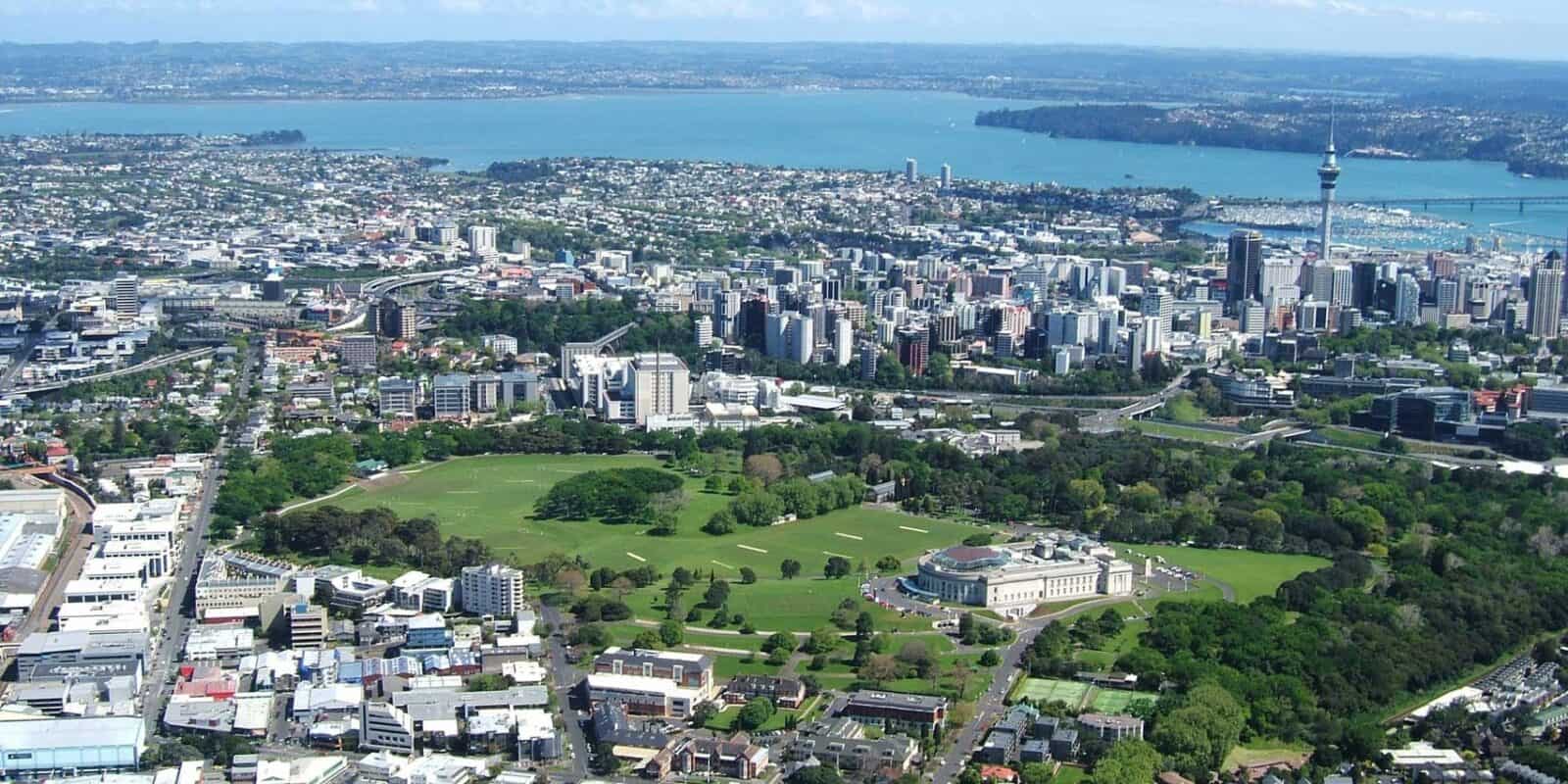
After the eruptions ceased, the highly fractured lava became saturated with groundwater. A swamp developed on its surface, particularly in the lower area in front of the grandstand, where up to 7 m of peat and clay accumulated over many thousands of years.
Human history
Auckland War Memorial Museum is situated on Pukekawa, which means the 'hill of bitter memories', referring to the many local Māori killed in the 1820s musket wars. The scoria cone, or castle, in the centre of the crater is named Pukekaroro, 'hill of the black-backed gull'.
During WWII, the Domain lawn in front of the museum was covered with American barracks at Camp Hale from 1942 to 1944. A further cluster of barracks occupied the southwest corner of the lower playing fields. Several of these are still present near the Carlton Gore Road entrance.
The Domain’s duck ponds are fed by freshwater springs flowing from groundwater beneath the fractured lava and scoria that fill the crater, which gradually eroded away the soft tuff ring on its northern side. In 1865, when Auckland’s population was 12,000, the first piped water supply came from the Domain ponds to the 'downtown' area. However, the supply could not keep up with the demand of the growing population during dry summer periods, and Domain water was replaced by Western Springs water.
Te Pou Hawaiki
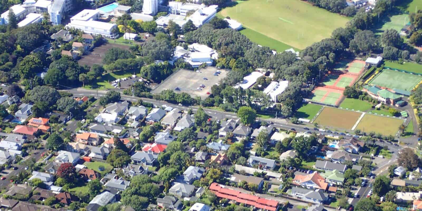
Te Pou Hawaiki is the second-smallest cone in the Auckland Volcanic Field; only Pukeiti is smaller. It erupted just south of Maungawhau/Mt Eden about 28,000 years ago and is surrounded by lava flows. Te Pou Hawaiki erupted just before Maungawhau/Mt Eden and there may be an explosion crater and tuff rings buried under the site.
Human history
Te Pou Hawaiki means ‘the pillar of Hawaiki’ the ancestral homeland of Māori. The scoria cone was completely quarried away in the early 20th century; and it was completely removed during WWII. There is a sunken building with carparks on top now on the site. This building was a bunker during WWII and used as Auckland’s civil defence headquarters for many years.
Maungawhau / Mt Eden
Located in the heart of the city, Maungawhau rises 196 m above sea level, providing spectacular views of Auckland City and the surrounding maunga. Maungawhau / Mt Eden can be described like a 'fried egg' - with a scoria cone (yolk) surrounded by a field of lava flows (egg white). The two scoria cones are believed to have erupted through the lava flows of the earlier Te Kōpuke / Mt St John (owner of the longest lava flow in the Auckland Volcanic Field), roughly 28,000 years ago.
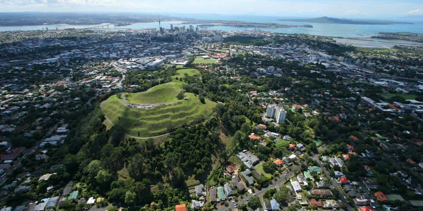
During the early phases of the eruption, lava was hot and fluid, reaching long distances as far as New Market and Balmoral. However, as the eruption progressed, lava cooled and thickened, piling up at the base of the cone to form a 'pedestal' around the Maunga. Consequently, as solidified lava blocked the lower vents at the base, 'younger' lava was forced to squeeze out of progressively higher exit points up the cone.
The crater of the higher southern cone is shaped like an inverted circular cone, about 180m in diameter and 50m deep. Such a deep and perfectly shaped crater is rare in the Auckland Volcanic Field. In pre-European times, this crater was known as Te Kapua Kai a Mataaho, 'the food bowl of Mataaho' after the deity of volcanic activity.
Human history
Maungawhau, means 'hill of the whau tree'. Before Europeans arrived, this scoria cone was extensively modified to create a pā. On the outer slopes, numerous flat terraces were used partly for defence but mainly for living and working space. More information is available at The Tupuna Maunga Authority website.
The English name, Mt Eden, was given by Governor William Hobson (who also named Ōhinerau/Mt Hobson). Several large quarries worked the thicker flows, operating for many years near Mt Eden Prison, with the road to the top of the mountain constructed by prison labour between 1869 and 1880.
Ōhinerangi / Mt Hobson / Ōhinerau
Ōhinerangi is a moderately large scoria cone that erupted roughly 35,000 years ago. Similar to Te Kōpuke, the 143 m scoria cone was built up through fire-fountaining eruptions. The central crater was breached to the southwest by a small lava flow, creating a horseshoe-shaped depression, and the northern lava flow reached as far as where the Newmarket Railway Station is today.
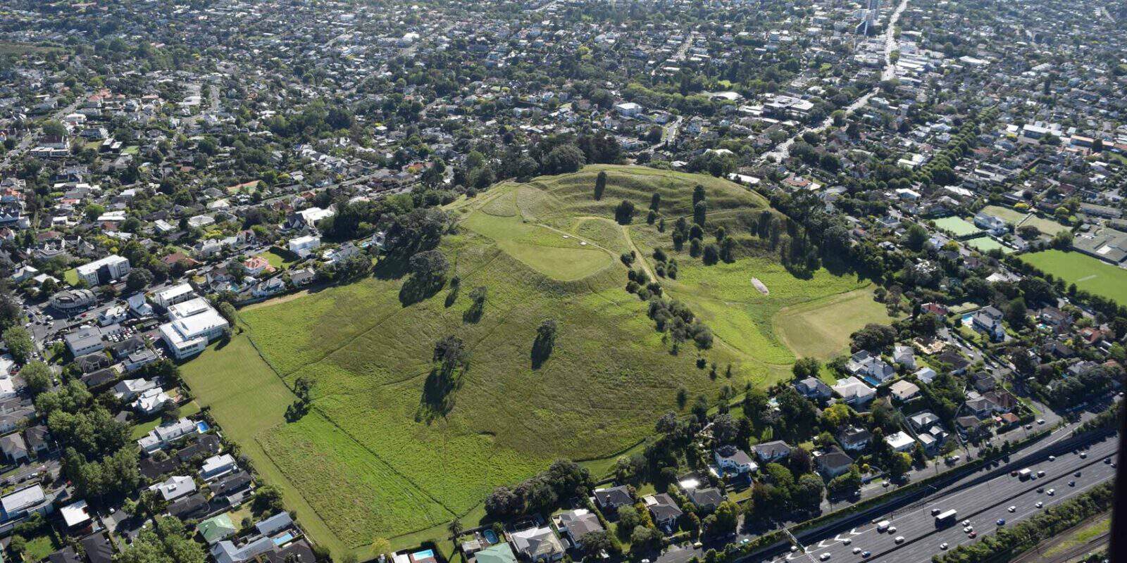
Exposures of the basalt can be seen alongside the railway line and under the Market Road bridge over the motorway.
Human history
Ōhinerau is an ancient name for the Maunga and means the place of Hinerau, goddess of whirlwinds. Another ancient name is Ohinerangi, meaning the place of Hinerangi, girl of the sky. A third name, Remuwera means the burnt hem of a skirt. This name dates to the 1700s and refers to an incident where a young visiting woman was killed on the Maunga. More information is available at the Tūpuna Maunga Authority website.
The English name Mt Hobson was given in 1841 to honour Governor Hobson, New Zealand’s first governor and European founder of the city of Auckland. It was the first volcanic cone climbed by Hobson after his arrival on the Tāmaki isthmus.
In 1877, public debate raged over the need to sacrifice the scoria cone to build the roads of the ever-growing city. Good sense prevailed, and the Mt Hobson Domain was established in 1880. Despite this, many houses were built high on the northern side (Remuera Road), and parts of the scoria cone were quarried away, with one now a tennis court.
The grassed slopes on the north side above Remuera Road turn golden in the early spring with the flowering of daffodils. These flowers were gifted by the residents of Remuera to commemorate all those who gave their lives in the Second World War.
Te Kōpuke / Tītīkōpuke / Mt St John
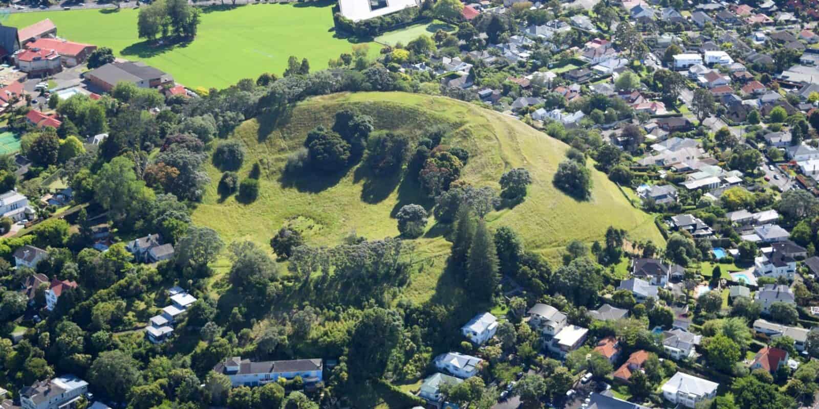
Te Kōpuke is a small scoria cone that had a mighty impact, forming Auckland’s longest lava flow and Meola Reef Te Tokaroa. Standing at 126 m above sea level, Te Kōpuke formed approximately 75,000 years ago from dry fire-fountaining eruptions.
Te Kōpuke means ‘the prominent mound’. More information is available at the Tūpuna Maunga Authority website.
Meola Reef Lava Flow
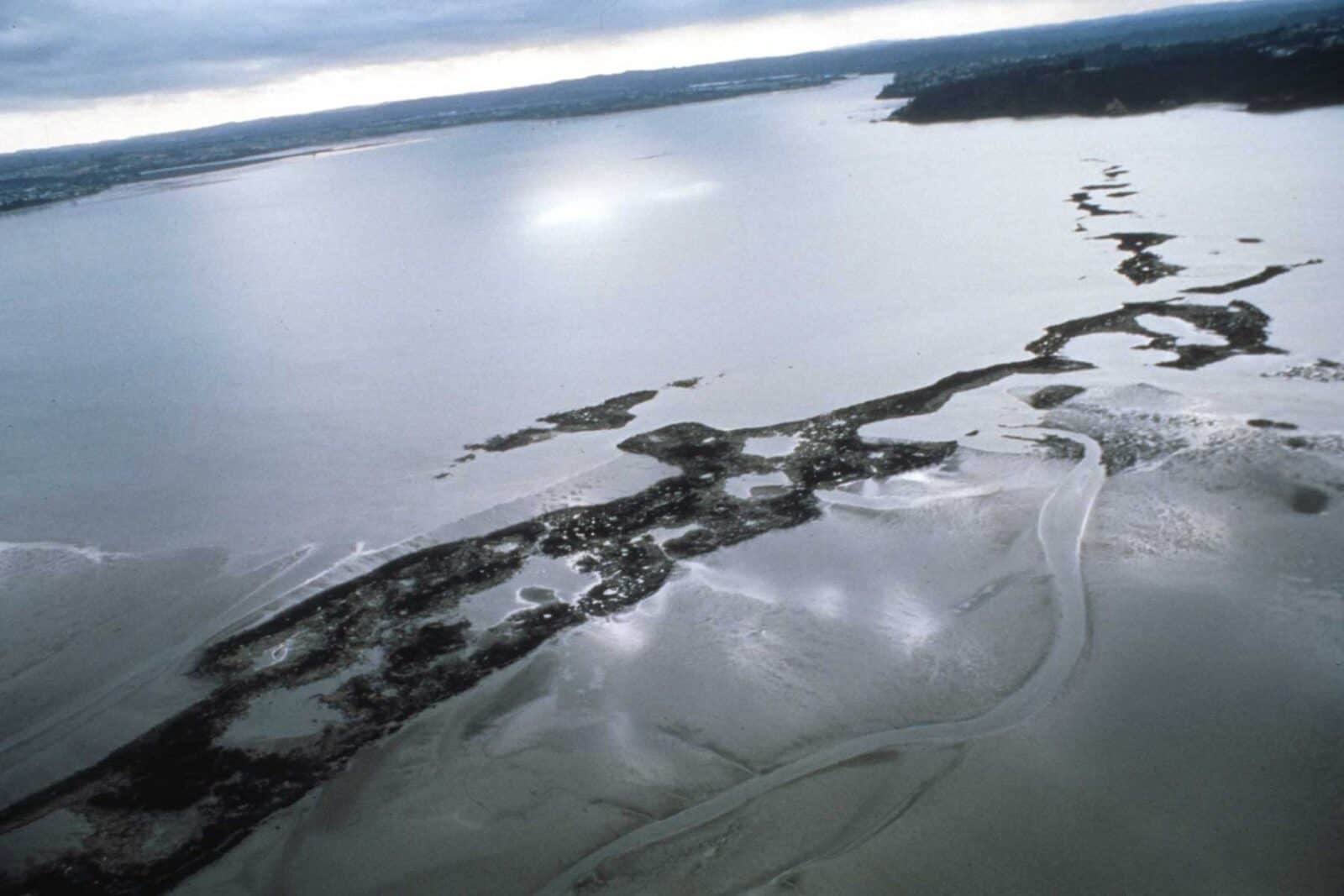
In 2008, University of Auckland graduate student Jeremy Eade used geochemical analyses to identify the lava that had erupted from Te Kōpuke, Maungawhau (Mt Eden), Maungakiekie (One Tree Hill), and Te Tātua a Riukiuta (Three Kings). He found that the lava flow forming Meola Reef Te Tokaroa has the same chemistry as Te Kōpuke and could be tracked beneath some of the more recent lava flows from Te Tātua a Riukiuta and Maungawhau. This research helps us understand how the eruption of Te Kōpuke resulted in an outpouring of lava that flowed westward into the Waitematā River valley near Birkenhead. This river of lava cooled to form a solid ribbon of basalt, claiming the title of Auckland’s longest lava flow, reaching 11 km away from the scoria cone.
An early name for Meola Reef is Te Ara Whakapekapeka-o-Ruarangi, meaning 'the pathway or diversion of Ruarangi', as it is said that Ruarangi used the reef to flee from his brother, Oho Matakamokamo. Other names for the reef include Te Tokaroa (the long reef), Westmere Reef, Pt Chev Reef and Black Reef. During 1960-76, Meola Reef Reserve was a major refuse tip on top of the lava flow, until it was covered with soil and grassed for cattle grazing and recreational use.
Maungakiekie / One Tree Hill
Standing at 183 m above sea level, Maungakiekie / One Tree Hill is the second-largest volcano in the Auckland Volcanic Field. Maungakiekie / One Tree Hill erupted about 67,000 years ago, just as magmatism in the Auckland Volcanic Field began to pick up the pace! This eruption produced a whopping 2000 hectares of lava flows that surrounds the large, complex scoria cone. Like many of our volcanoes, this lopsided scoria cone was formed by frothy lava that was blown up on its northeastern side during a period of strong south-westerly winds, resulting in its asymmetric shape.
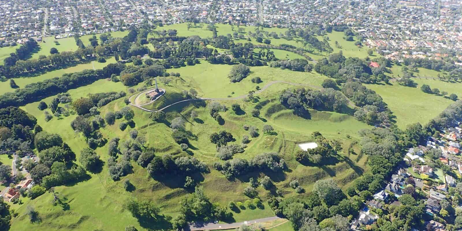
The other two horse-shaped craters in the southwest and southeast were breached by lava flows that carried away parts of the scoria cone downhill.
Human history
Maungakiekie means ‘the hill of the kiekie vine’, a native New Zealand woody climbing vine that is highly valued by Māori for traditional weaving.
Maungakiekie / One Tree Hill is one of the largest pre-European archaeological site complexes in Aotearoa. It includes dozens of house sites, garden terraces, and numerous groups of food-storage pits. This scoria cone pā is one of the largest pre-iron-age forts in the world, with all four summits heavily defended by ditches and wooden palisades. More information is available at the Tūpuna Maunga Authority website.
The 21-metre-tall obelisk at the summit was bequeathed by the late Sir John Logan Campbell, known as the 'father' of colonial Auckland. It is a memorial to the Māori people of 1840. It is made of basalt and Coromandel Granite and was unveiled in 1948 by the Māori King, Korokī. The plaques on the obelisk provide a mid-twentieth-century account of Māori migration and the 1840 Treaty of Waitangi. They are notable for being inscribed in both English and Māori and for affirming Māori as the first peoples of New Zealand.
Ōrākei Basin
Ōrākei Basin is one of the city’s most striking volcanic features, a broad, shallow explosion crater formed around 130,000 years ago when magma forced its way up through waterlogged sediments near the junction of two ancient stream valleys. The explosion was driven almost entirely by steam rather than magma, and the surrounding rocks were blasted apart so violently that some layers of the volcanic deposits are made up of almost 95% fragments of the local sandstone, with very little actual volcanic material.
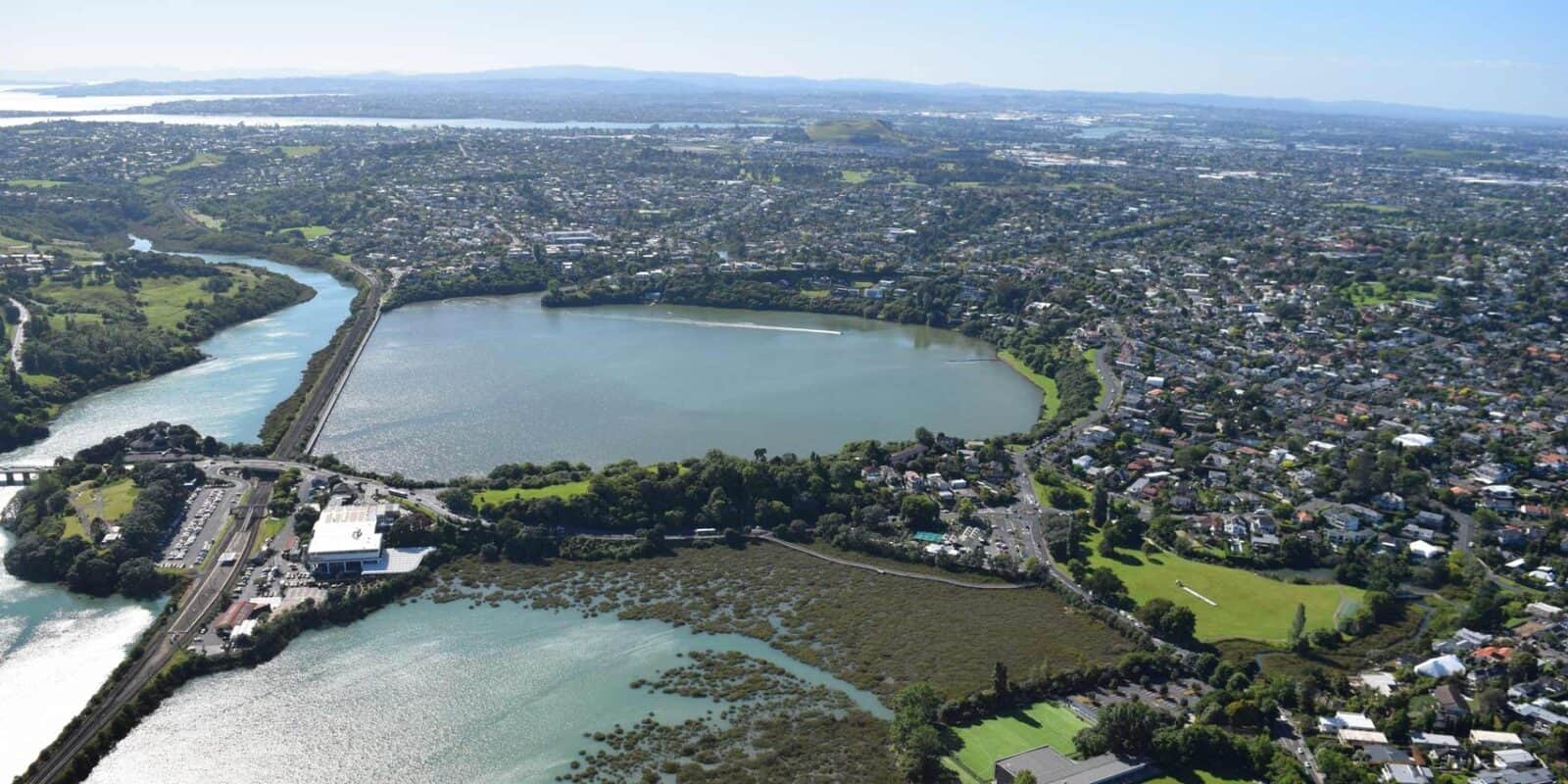
The low volumes of magma involved make Ōrākei a particularly important site for hazard research: it demonstrates that even a very small magmatic intrusion, potentially too small to be detected by earthquake monitoring, can trigger an eruption capable of destroying everything within a six km radius in just hours to days.
After the eruption, the crater filled with freshwater to form a quiet lake, and for tens of thousands of years fine sediments slowly settled on its bed. Trapped within these layers are microscopic records of ash from eruptions across the North Island, as well as detailed clues about past rainfall, temperature, vegetation changes stretching back 130,000 years. Researchers drilled out sediment cores from the basin in 2007 and 2016, recovering one of the most complete climate records ever obtained from the Southern Hemisphere. These cores have helped reveal that over Auckland’s volcanic history, sea levels have fluctuated dramatically, dropping as much as 130m below present levels during ice ages, at which point neither the Waitematā nor Manukau Harbours existed at all.
The basin’s own landscape tells this same story of changing sea levels. Originally a freshwater lake, Ōrākei’s crater was gradually enlarged by erosion and inward collapse of its walls. Around 9,000 years ago, as the last Ice Age ended and seas rose, the ocean crept up the valley and eventually broke through the crater rim, transforming the lake into the tidal lagoon visible today. If you look carefully as you walk around the basin, you can spot exposures of the original volcanic deposits in the road cuttings and beneath the railway bridge.
Maungarahiri / Little Rangitoto
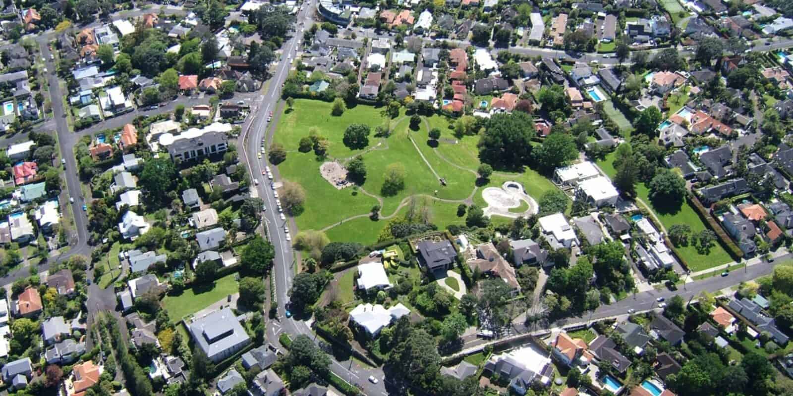
Maungarahiri / Little Rangitoto was a relatively small 70m high scoria cone that erupted about 24,500 years ago. Lava flow oozed from the north-western base and flowed down a small valley around the west side of Ōrakei Basin, which had erupted tens of thousands of years earlier, and northward. The northern end of this lava flow is buried beneath the mud of Hobson Bay.
Human history
Maungarahiri means ‘hill of the sun’s rays’.
Most of the scoria cone was quarried away between the late 19th century and the 1950s. That hole was then used as a rubbish site and then rehabilitated into the Little Rangitoto Reserve.