
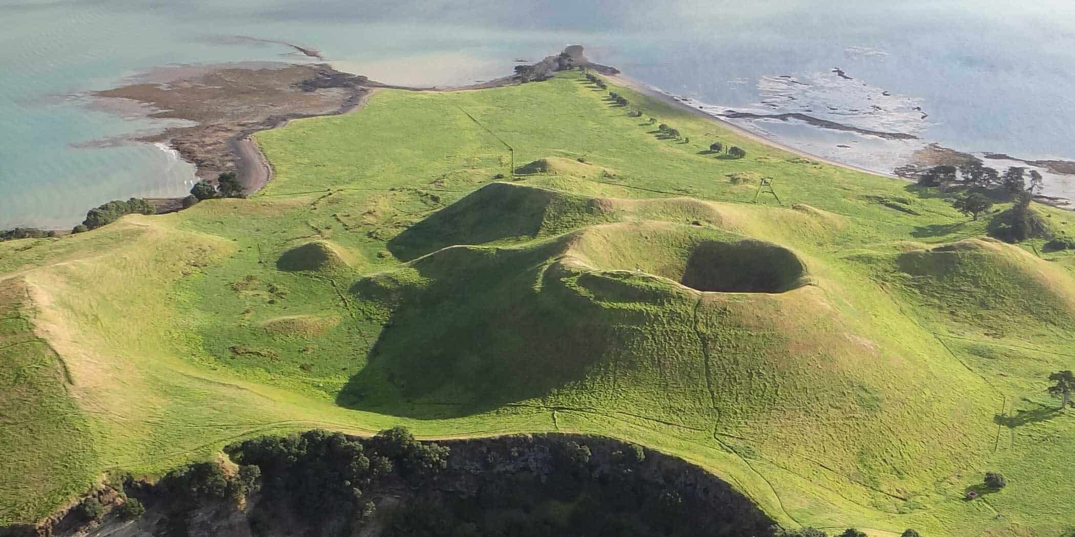
There are three main types of volcanic landforms in the Auckland Volcanic Field:
You can also find a few rarer types of volcanic landform in Tāmaki Makaurau:
Explosion craters and maars
Slightly more than 80% of eruptions in the Auckland Volcanic Field began with a ‘wet’ explosive eruption, where the ascending magma interacted explosively with groundwater and/or surface water. This type of eruption often forms an explosion crater known as a maar.
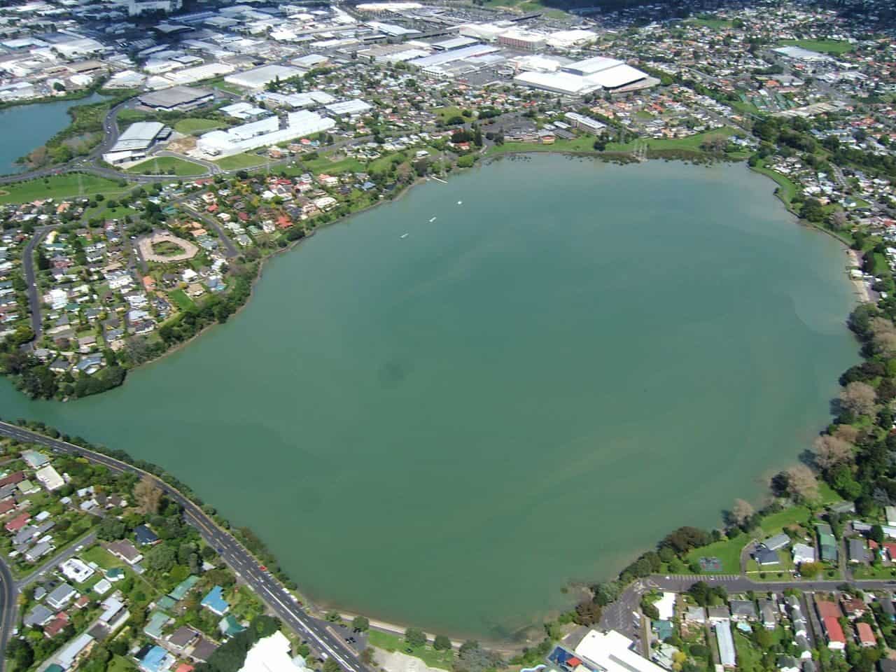
Maars are formed when rising magma interacts with water explosively, blasting through the overlying ground. The explosion also sends clouds of ash, steam and other gas into the air and flowing across the surrounding landscape. Craters can be up to 2 kilometres wide and are often surrounded by a low ‘tuff’ lip of finely layered ash and chunks of exploded rock.
Maars often fill and become lakes or swamps, and they can be invaded by the ocean. You can see this at Ōrākei Basin and Te Kopua Kai a Hiku / Panmure Basin.
Tuff rings
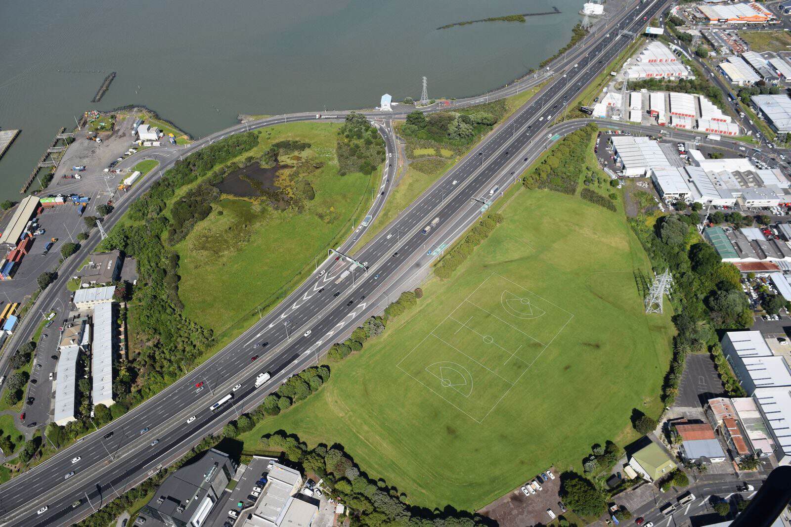
Many of the volcanoes in the Auckland Volcanic Field have tuff rings around the central crater. Tuff rings are small, low-profile, circular volcanic cones made of solidified ash and chunks of rock that exploded from the volcano in a wet, explosive eruption. They have broad shallow craters, which are sometimes maars.
You can see tuff rings across the Auckland Volcanic Field, including at Ōrakei Basin and Te Hopua-a-Rangi / Gloucester Park. Many of the tuff rings in Tāmaki Makaurau were quarried away and are no longer circular.
Tuff cones
Tuff cones or ash cones are small, nearly circular, low-profile, steep-sided volcanic landforms with a cone-like shape and a broad, bowl-shaped crater at their summits. Tuff cones have high profiles than tuff rings and have steeper slopes. Auckland has few surviving tuff cones, as many were overwhelmed by later fire fountaining eruptions which created scoria cones.
Scoria cones
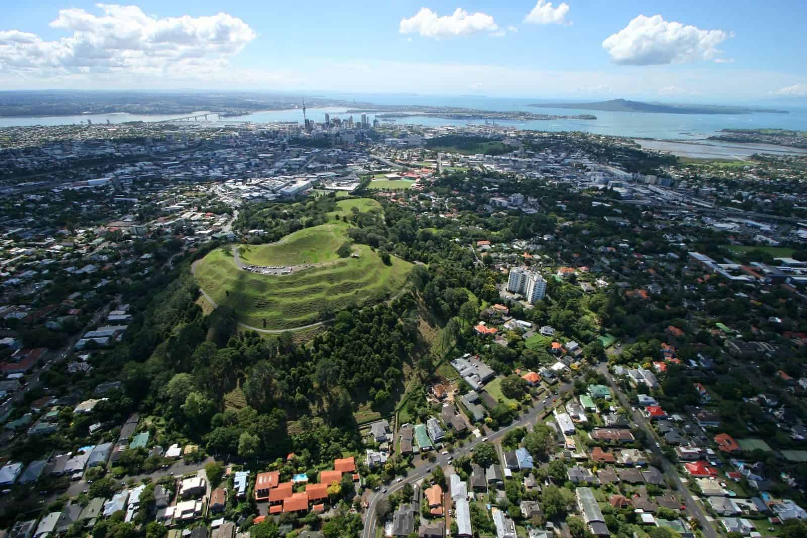
Also known as cinder cones, scoria cones are formed when gas-rich hot fluid basalt magma fire-fountains at a point or crack (fissure). Scoria is made of lava and has a frothy, bubbly texture. Scoria cones are made up of chunks of scoria and smaller ash.
Once the pressure causing the fire fountaining reduces, the lava stops fountaining and starts to pull backwards into the volcano. At this point, the build up of lava is so great that it bursts out of the scoria cone and flows down into the landscape.
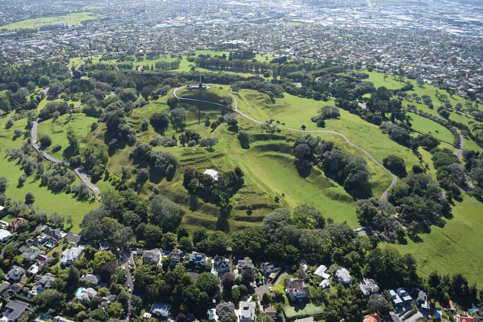
Maungawhau / Mt Eden, Maungarei / Mt Wellington and Te Ahi-kā-a-Rakataura / Ōwairaka / Mt Albert are all scoria cones.
Shield volcanoes
Shield Volcanoes (also called composite cones or stratovolcanoes) are characterised by a succession of small to moderate eruptions from one location. The products from the successive eruptions build the cones. This landform is what most people think of when they think of a volcano. New Zealand shield volcanoes include volcanoes like Ruapehu, Taranaki Maunga and Ngauruhoe. There is only one shield volcano in the Auckland Volcanic Field - Rangitoto.
Lava flow
Because basalt contains less silica than other lava types, the lava from Auckland volcanoes is hotter and flows farther than lava flows with higher silica content. Volcanologists around the world use the Hawaiian terms ‘a’ā (rough) and pāhoehoe (smooth) to describe the two main surface textures of basaltic lava flows. Both can be seen in the Auckland Volcanic Field.
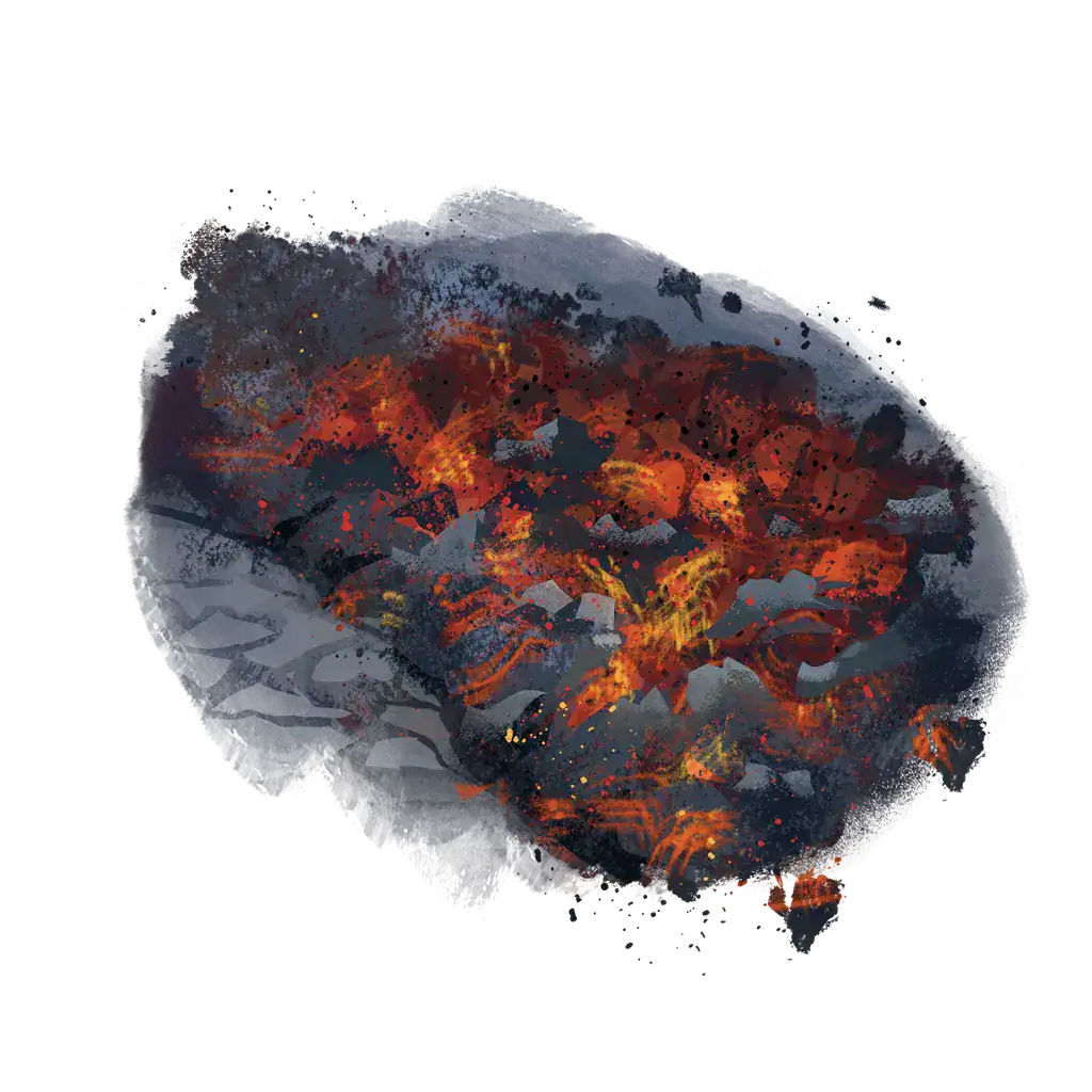
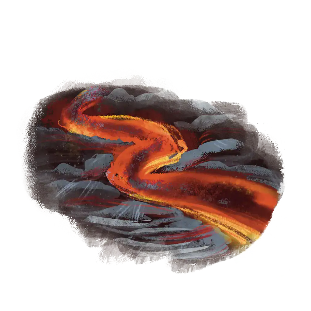
The average length of lava flows from Auckland’s volcanoes is 2.5 km. Te Kōpuke / Mount Saint John produced an 11 km lava flow, the final portion of which formed the Meola Reef.
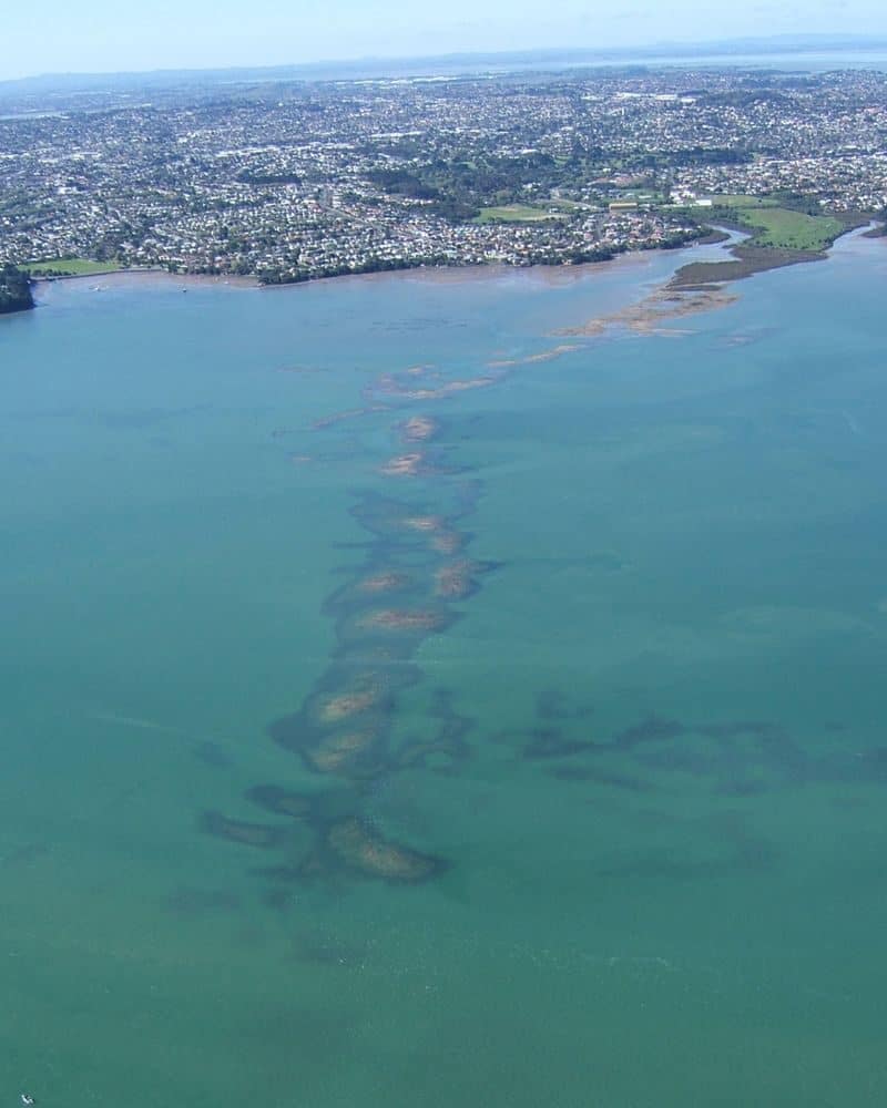
The lava flow cools into basalt, which has historically been used to build houses, roads, and walls around Auckland.
Lava tubes/caves
Lava tubes are formed when lava drains from a flow that has cooled on top and crusted over, leaving a long, empty, cave-like structure.
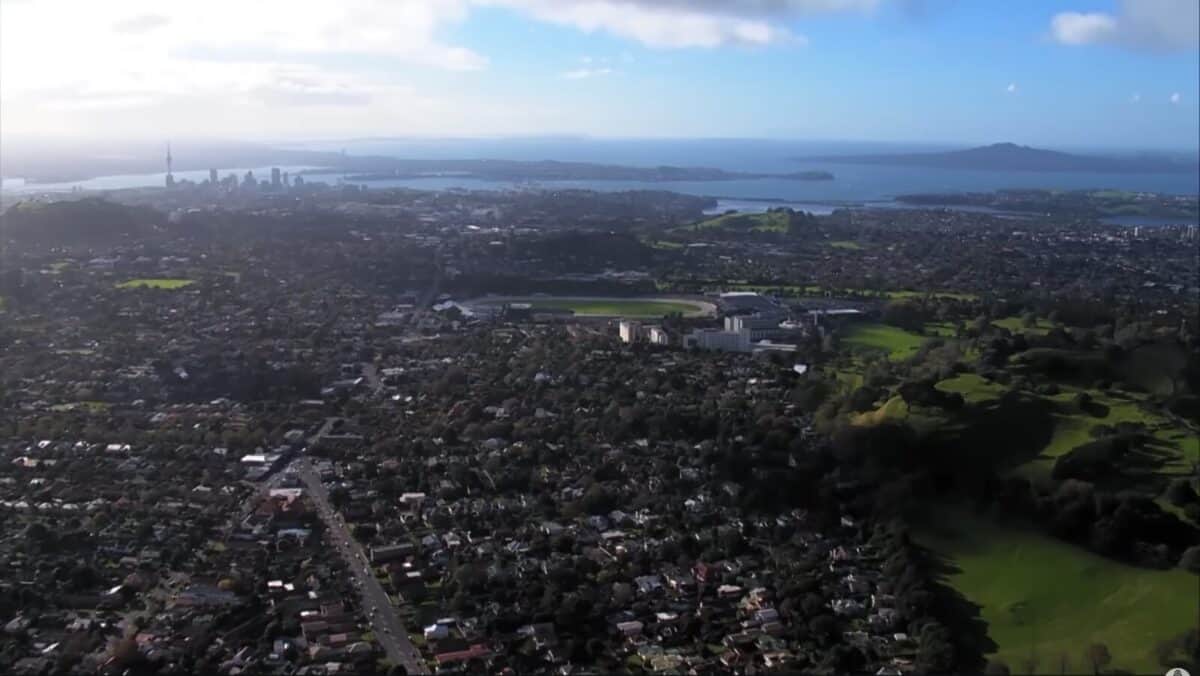
Lava flowing in these tubes is so insulated that it only loses ~1 degree every kilometre it travels! The lava cools as it flows away from the vent forming a crust of hard basalt. Hot lava continues to move inside the flow and eventually drains leaving an empty lava tube behind. Lava tubes are a common feature in Auckland and are sometimes found during construction projects.
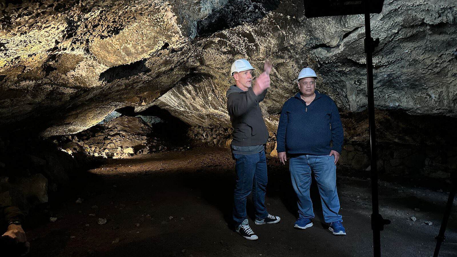
Lava tubes can be fragile and dangerous, with falling rocks and roof collapses. If you are in Auckland and want to safely get a look at a lava tube, check out the excellent examples along Rangitoto’s Lava Caves Track, and don’t forget your torch!
If you’d like to find out more about lava caves and their cultural significance, check out

Fossil forests
The Takapuna Fossil Forest runs along the coastline between Takapuna Beach and Thorne Beach. It was once a coastal kauri, podocarp and broadleaved forest. The eruption of Pupuke sent two lava flows through the forest, burning vegetation and encasing the lower parts of tree trunks in lava that then solidified into basalt rock. There are also basalt formations of horizontal logs, where fallen trees were encased in the lava.
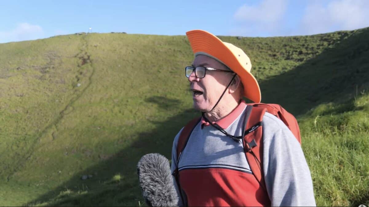
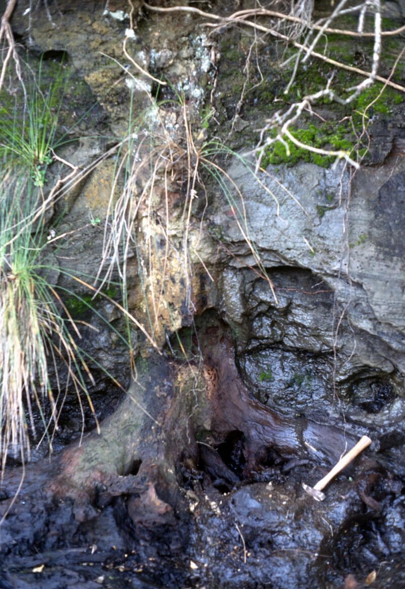
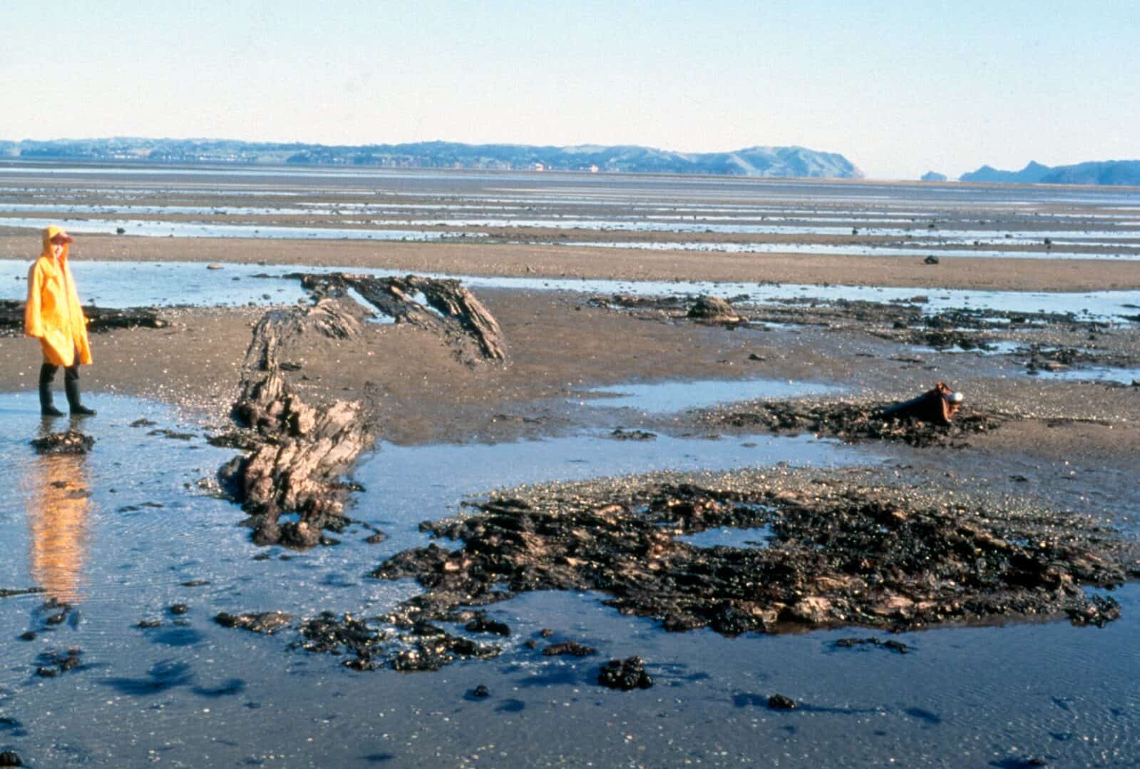
There are also two distinct fossil forests at Ihumatao. Large, widely spaced stumps and logs of the older forest are buried in peat which underlies later layers of volcanic ash. These are the remains of a mature podocarp (mainly kauri) forest. Logs in the peat are lying in all directions with peaks reflecting the main wind direction from the south-west. A younger forest dominated by rimu, miro, hīnau, kauri and tānekaha was growing on the site when it was overwhelmed and preserved beneath the first volcanic ash showers from nearby Maungataketake volcano about 89,000 years ago. The orientation of logs in the volcanic ash reflect the main south-westerly wind direction and the direction of volcanic blast from the north-west.
Keep reading
More about this topic
-
Our geology
Explaining the geological history of the Auckland Volcanic Field
-
How distributed volcanic fields work
Instead of most eruptions taking place at one central vent at the summit, eruptions in volcanic fields usually take place from a new vent in a new location.
-
Frequency of eruptions
The chance of a future eruption is roughly 10% over the next 50 years, based on a gap of about 500 years between eruptions over the last 60,000 years.
-
Human geography
The impact of humans on Tāmaki Makaurau Auckland
-
Hochstetter's map
The 1859 map of the Auckland isthmus and its volcanoes, and who really drew it