
Whakamuhu / Glover Park / St Heliers Volcano
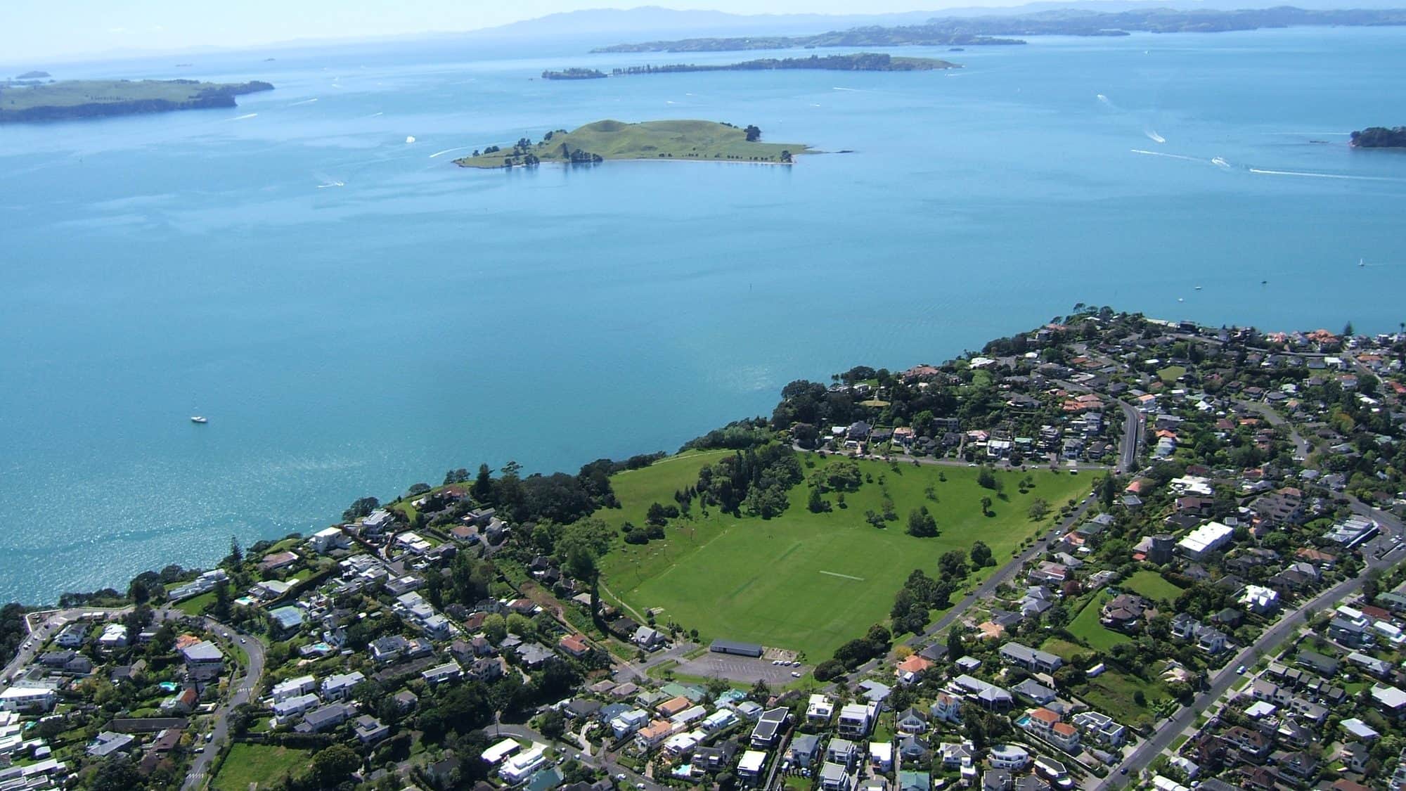
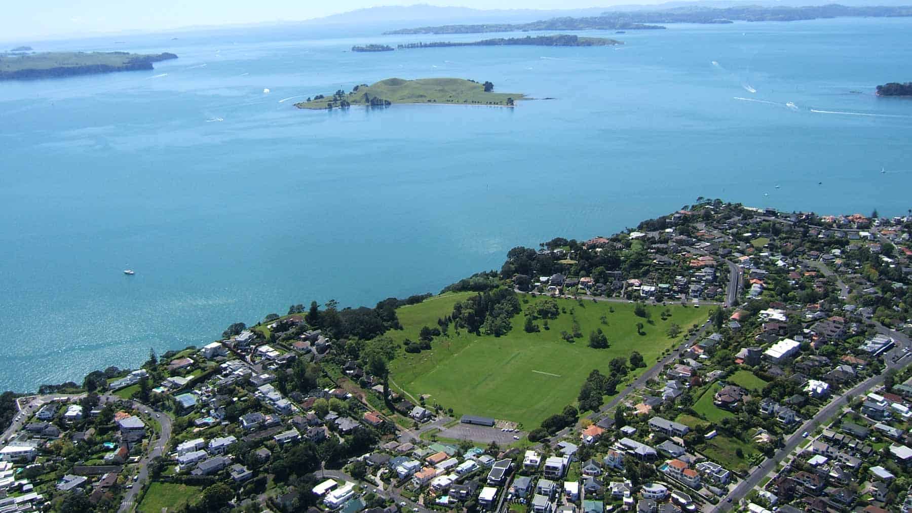
Whakamuhu Glover Park in St Heliers is one of the oldest volcanoes in the Auckland Volcanic Field. It is located inside a 500-metre-diameter explosion crater that erupted between 161,000 years ago. The surrounding tuff ring is eroded on the north side by the sea, forming high pōhutukawa-clad sea cliffs.
Like other explosion craters, this one would have originally been a freshwater lake, progressively filling with sediment to become a swamp. Blocks of bedded tuff lie at the foot of the eroding sea cliffs between Achilles Point and Karaka Bay. Some contain angular lumps of a variety of hard, green and grey schist, greywacke and gabbro rocks that were thrown out of the volcano vent during eruptions and ripped from the walls of the volcano’s neck at considerable depth by explosive blasts. These rocks are unlike any others seen at the surface around Tāmaki Makaurau Auckland and originate from the hard Palaeozoic basement rocks under this area
Human history
The te reo Māori name of this volcano is Whakamuhu, meaning ‘to lead into a thicket’, referring to its swampy crater floor.
The European names include Glover Park, named after Albert Edward Glover, City Councillor and Member of Parliament in the 1890s-1910s. It is also commonly called St Heliers Volcano after the local suburb, which derives its name from St Helier, the capital of Jersey in the Channel Islands of the United Kingdom. The crater became a park in the 1930s, and in the 1950s, the swampy floor was drained and filled. In 1953, the Tāmaki Ex-Servicemen’s Women’s Auxiliary planted trees in the park to commemorate the men of the district who lost their lives during the two world wars. The crater floor is now used for sports such as cricket, athletics, and soccer.
Taurere / Taylors Hill
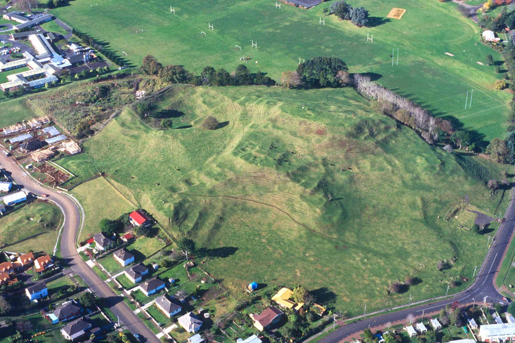
Taurere, meaning 'loved one flown away', erupted roughly 30,200 years ago in present-day Glendowie, in the middle of a valley that drained east toward the Tāmaki River. The first phase of eruptions was wet and explosive, throwing out pulverised rock and volcanic ash, creating a 900-metre-wide crater partly surrounded by a tuff ring. No tuff ring built up on the south side of the volcano as ash mantled the existing sandstone ridge, which is now the site of Sacred Heart College.
Within the crater, a group of smaller mounds and cones formed as scoria bubbled up from at least five different vents. Lava oozed from the base of the eastern and western scoria cone complex. To the east, a small flow rafted away some of the scoria, while a narrow lava flow escaped the explosion crater and flowed down a narrow valley beneath present-day St Andrew’s Village towards Glendowie Bay. To the west, lava flowed over the tuff ring rim and then north under present-day Glendowie College before coming to a stop near Riddell Road. The eruptions blocked the east-flowing valley, creating a swampy wetland that we now know as Crossfield Reserve.
Human history
The remaining parts of the scoria cone have numerous pre-European terraces and pits, part of an extensive Māori pā site.
Taylors Hill was given its European name in the 1850s after the then landowner Richard James Taylor and his Glen Taylor Farm.
Taylors Hill Reserve, encompassing the main scoria cone area, was donated to the city by the estate of William Innes Taylor (Richard James' brother) in 1924. Quarrying began on the Taylors Hill scoria cones in the early 20th century, but most of the damage occurred in the 1950s and 1960s, when the cones and mounds on the south and east sides were removed.
Te Tauoma / Purchas Hill
In the past, geologists lumped Te Tauoma / Purchas Hill in with Maungarei / Mount Wellington and counted them as one volcano. We now think they are probably one of the volcano pairs in Tāmaki Makaurau Auckland that erupted one after the other. Te Tauoma / Purchas Hill erupted 10,900 years ago. It is likely that the Maungarei / Mount Wellington magma ascended through the same conduit used by the earlier Te Tauoma / Purchas Hill eruption, which occurred 10,000 years ago.
Te Tauoma / Purchas Hill began with a series of wet explosive eruptions that blew out a shallow 600-metre-wide crater and built up a low surrounding tuff ring of expelled rock and ash. This tuff ring is still preserved on the northern and eastern sides. Activity later switched to dry fountaining of frothy lava from two adjacent vents, building up a small, 30-metre-high double scoria cone in the centre of the explosion crater.
Fine ash within the upper parts of the scoria cone is thought to be derived from the earliest wet explosive eruptions from an awakening Maungarei / Mount Wellington, 500 metres to the south. Some of this eruption’s voluminous lava flows poured into the western side of the Te Tauoma / Purchas Hill explosion crater. The southern sector of the tuff ring was also buried by eruptions from Maungarei / Mount Wellington.
Human history
The te reo Māori name Te Tauoma means ‘to arrive running’. Like most other cones in Tāmaki Makaurau, Te Tauoma’s double cone was terraced and fortified as a small defended pā by pre-European Māori.
Ferdinand von Hochstetter gave the cone its European name in 1859 after Rev. Arthur Guyon Purchas, who accompanied him on a number of his excursions around Tāmaki Makaurau and its volcanoes.
Quarrying began as early as the 1850s to supply scoria for the main road to Panmure, which passed right through the explosion crater. Quarrying continued until scoria ran out in 1966, but it remained as a council works depot for many years after that. Part of the tuff ring in the east was quarried to supply clay to an on-site brickworks in the 1930s. Most of the remaining tuff ring was flattened during preparation for the industrial subdivision on the Knox Estate in the 1970s.
As part of the Stonefields Housing development in the late 2000s, a major new road was built through the footprint of the southern half of Purchas Hill’s scoria cone. Today, none of the original shape of the Purchas Hill scoria cone is left. The remaining knobs of scoria mark the junction of the two cones.