Ash Hill Crater
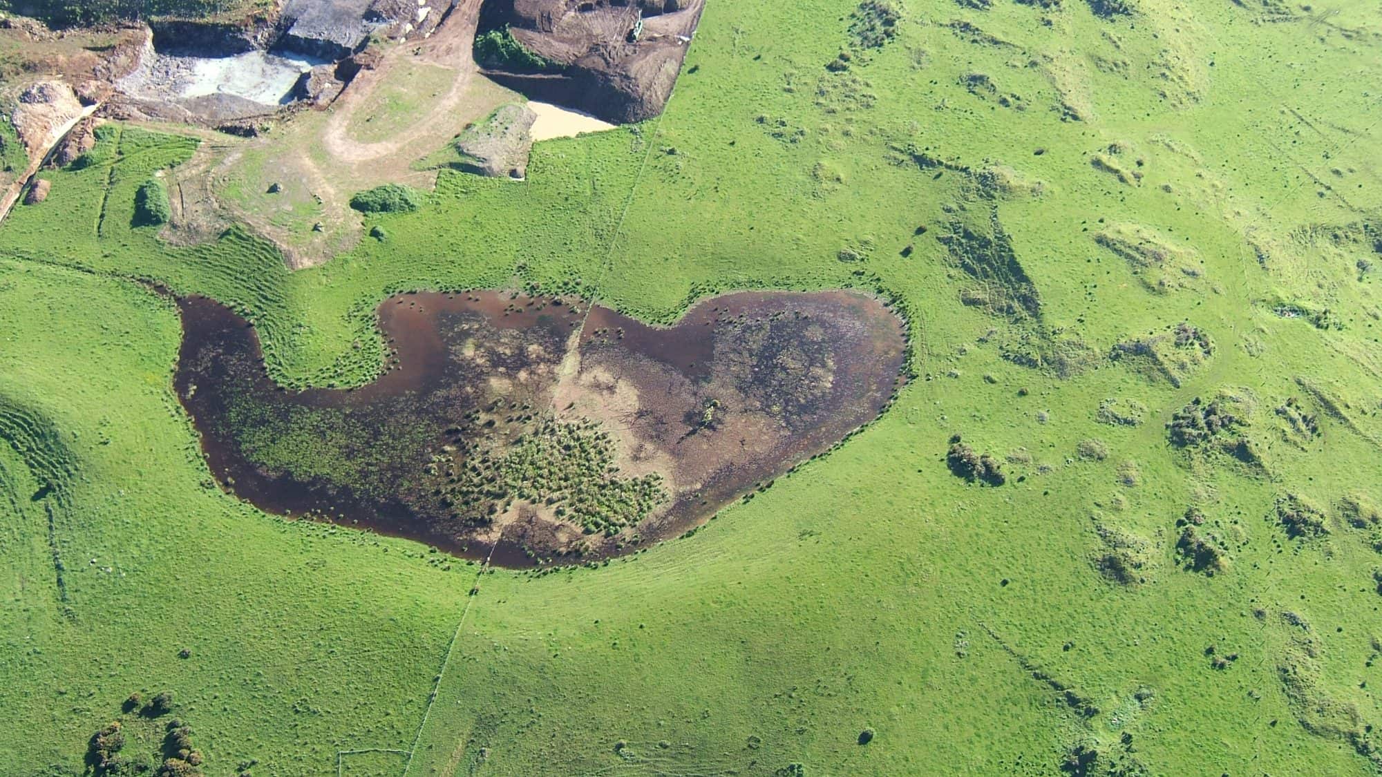
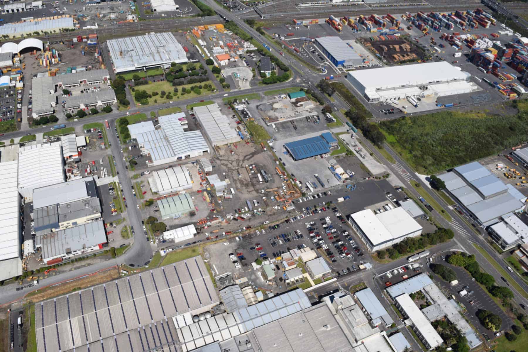
Ash Hill Crater erupted 31,800 years ago and was a small 125-metre diameter explosion crater with a low surrounding tuff ring, all of which was removed during industrial development. The explosive eruptions appear to have been phreatic steam blasts, at times including some fragmentation and eruption of chilled basalt lava.
Drilling investigations at the time of subdivision showed that the crater was about 30 metres deep and is filled with mud and peat which accumulated on the floor of a freshwater lake that later became a swamp.
Ash Hill Crater is at the northeastern end of a line of three volcanoes in this area, Matukutūreia McLaughlins Mountain, Te Manurewa-o-Tamapahore Matukutūruru Wiri Mountain and Ash Hill Crater. The magma that erupted at each centre probably rose to the surface along the same north-east-south-west oriented hidden fault line.
Human history
The crater was first recognised by geologist Ernie Searle in the 1960s. He named it after nearby Ash Road with its nearby ash trees. It has no known te reo Māori name.
Te Manurewa-o-Tamapahore / Matukutūruru / Wiri Mountain
Te Manurewa-o-Tamapahore Matukutūruru Wiri Mountain erupted 30,100-31,000 years ago. Remnants of a tuff ring seen in the quarry walls show that it began with wet explosive eruptions that would have produced a large crater and surrounding tuff ring. The dry fountaining eruptions that followed built a large 60-metre-high scoria cone that filled the explosion crater and the subsequent outpouring of lava flows buried the low tuff ring.
Lava flowed outwards in all directions from the base of the cone, creating an apron that completely encircled it and extended 1 kilometre to the north and 1.5 kilometres to the south.
Wiri Lava Cave
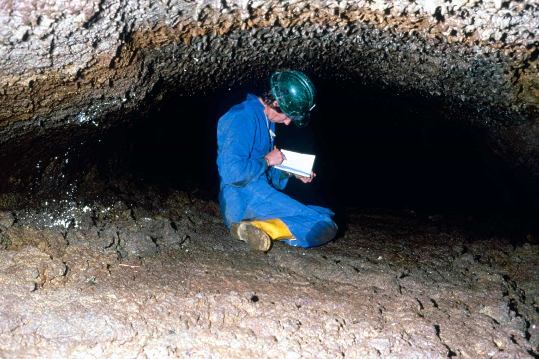
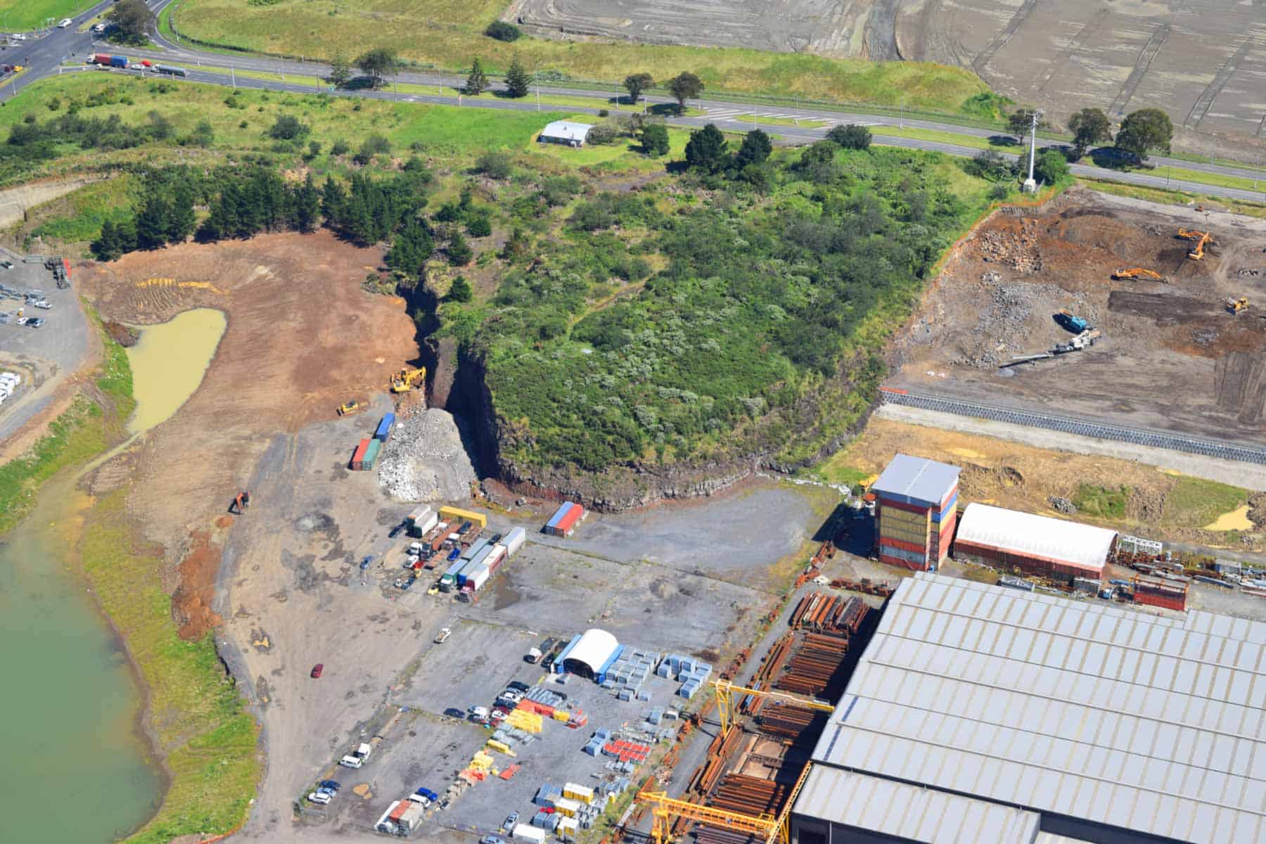
Wiri Lava Cave is New Zealand’s longest and best example of a lava cave. It is 200-metres long and protected within a scientific reserve beneath the only significant remnant of Wiri’s quarried scoria cone. Wiri Lava Cave is also one of only two known accessible caves that formed within a scoria cone in Aotearoa New Zealand.
The upper half of the cave was formed by lava that rose up inside the throat of the volcano and pushed its way through the northern flanks of the scoria cone, emerging as a lava flow. As the lava passed through the scoria, some of it cooled to form a thin lining of glassy basalt on the inside of the conduit, becoming the 50-20-centimetre-thick walls of the cave. This upper part of the cave has a 4-6-metre-high ceiling with a unique Gothic arch cross-section, produced when lava began draining out of the tube, and the weight of the surrounding scoria caused the still-softening lining rock to sag inwards.
Partway down the cave, the tube ceiling becomes much lower, and the walls are much thicker and more solid basalt. This is where the lava emerged from the base of the scoria cone, and from here on, the cave served as the feeder tube for a lava flow.
The lower part of the cave passes under Wiri Station Road and into the scientific reserve land on the other side.
The survival of the cave is a miracle and a tribute to the New Zealand Historic Places Trust, the New Zealand Speleological Society and, particularly, the Geological Society of New Zealand, who fought for nearly 30 years to save it from destruction during the quarrying of Wiri’s scoria cone. The battle heated up in 2970 when the New Zealand Historic Places Trust won its case before the Planning Tribunal to have the cave scheduled for protection on the Manukau District Scheme. The quarry was run by New Zealand Railways and countless Ministers of Railways lobbying to make sure the cave was not quarried away. In 1998, after a major report from the Parliamentary Commissioner for the Environment calling for action, the land was transferred to the Department of Conservation and declared a scientific reserve.
Human history
Wiri Mountain is named after Wirihana Takanini, the Māori chief who sold the hill last century. Te Manurewa-o-Tamapahore is the source of the name used for the suburb just to the south.
While it’s difficult to imagine today, Matukutūruru Wiri Mountain was a vast, sprawling maunga that covered around 18 hectares and stood about 90 metres high at the summit. It was also an impressive and elaborate Māori pā. These days, there is not much left of the original volcano, just the lower northern slopes of the scoria cone, as it was quarried from 1859 and used to construct the Great South Road and railway ballast all the way south to Ōhākune.
Matukutūreia / McLaughlins Mountain
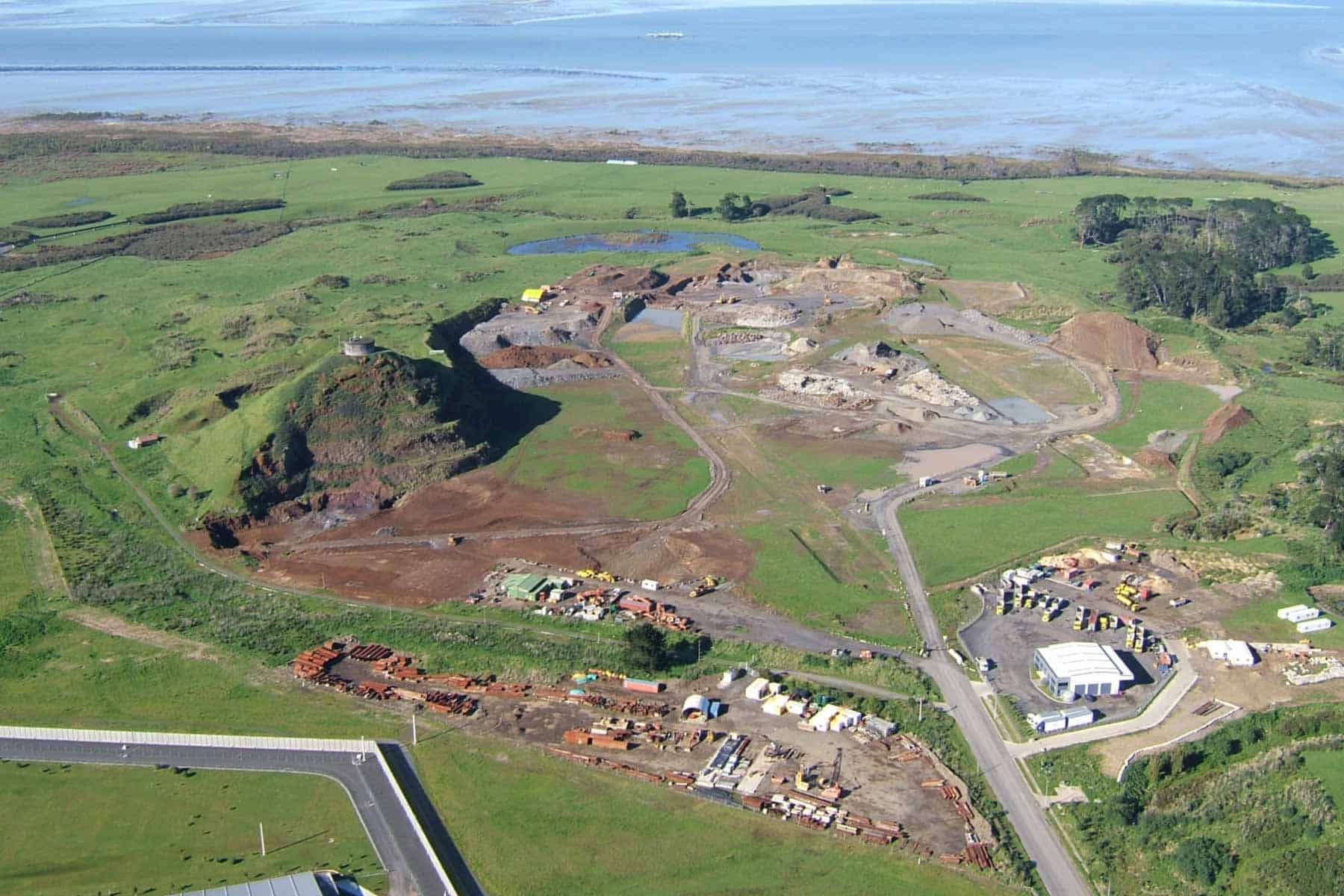
Matukutūreia McLaughlins Mountain erupted 48,200 years ago and is the southernmost mountain in the Auckland Volcanic Field and contains evidence of three styles of eruption.
If there was an initial explosive phase, the crater and tuff ring are now buried. A large scoria cone was built by fountaining eruptions, and voluminous lava flowed from around its lower slopes spreading out in all directions to create an apron of lava flows. Lava pouring out from the southern side carried away some of the scoria cone, creating a U-shaped, breached crater. The last phases of eruption from the cone’s crater were fiery, explosive eruptions of more pasty, less gaseous lava, producing numerous irregular, twisted and elongate bombs and ragged lumps of partially welded scoria. The crater’s surface is covered with a thick layer of gaseous basalt that caps the cone.
Near the end of the eruption sequence, it appears that a dike of magma intruded up into the wet rocks out to the southwest of the cone. This heated the groundwater, resulting in one or more large phreatic steam explosions along the edges of the early lava flows, creating a crater surrounded by a ring of tuff.
This explosion crater became a freshwater pond that gradually filled with sediment, and in recent times has become a seasonally flooded swamp with remnant native wetland plants.
Human history
Matukutūreia was terraced and used as a fortified pā by local Māori in pre-European times. The rich, volcanic-derived soil on the surrounding lava flows was intensively used for cultivation, with kūmara and other crops grown. The naturally stony surface of the flows was modified during gardening activities. Larger rocks were heaped into rows or mounds, often on top of natural rock outcrops. In places, there are flattened rectangular enclosures that were probably the site of whare (dwellings).
The 43-hectare historic reserve was created to protect the remnants of the Matukutūreia Stonefield gardening site.
The European name, McLaughlin’s Mountain, came from the long-time European owners. The first quarrying of the scoria cone began in a small way in the 1850s to supply metal for the nearby Great South Road. Quarrying on a larger scale began in 1960, first removing all the cone except a benched pyramid that was retained to support the water reservoir. As the scoria resource ran out, quarrying moved into the surrounding lava flow field and removed most of the remaining material that wasn’t protected by the reserve.
Puhinui Craters
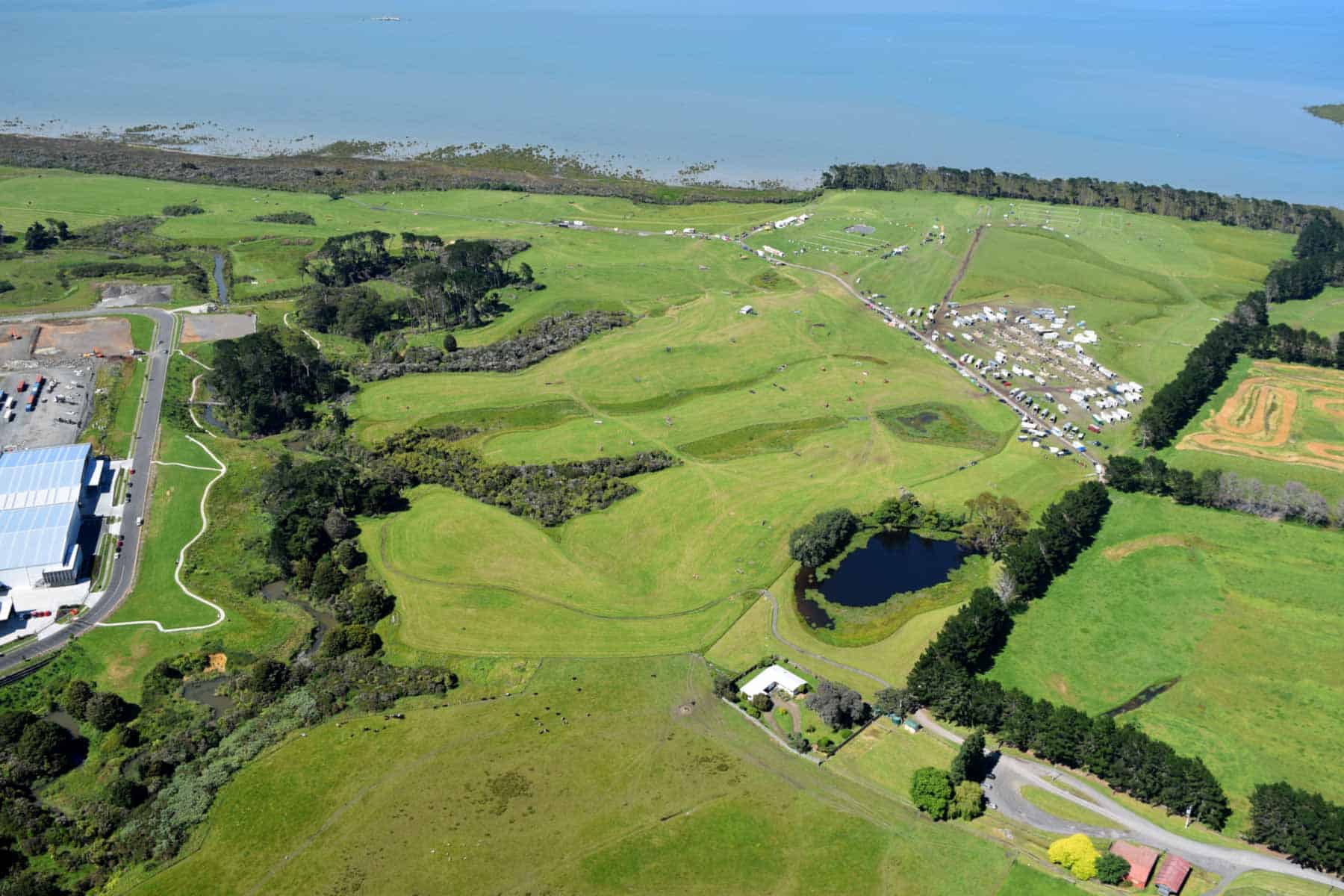
Puhinui Craters were recognised as volcanic features within the Auckland Volcanic Field only in 2011. They consist of three small craters (150-250-metre-diameter) surrounded by low, tuff ring cones. All three of these small craters have elliptical shapes with parallel north-eastern trending axes, suggesting that the magma rose as narrow intrusional dikes along two parallel north-east aligned faults, and that the eruptions were fissure-like. Most of the blasts were probably phreatic (steam), produced by groundwater that had been superheated by the rising magma.
Pond Crater, near the entrance to the reserve, is breached to the west and has a small farm dam controlling the water level in the crater. Arena Crater is breached to the east and its swampy crater floor has been drained and slightly modified to form an equestrian arena. It has a flat floor because the crater has since filled up with peat and lacustrine sediment. Eroded Crater is the hardest to recognise as it has been eroded out by a small stream flowing from west to east through its middle, but the raised rim of tuff is still present on either side.
The age of eruption of Puhinui Craters is unknown, although they possibly erupted at the same time as their neighbour, Matukutūreia / McLaughlins Mountain, across Puhinui Stream.