
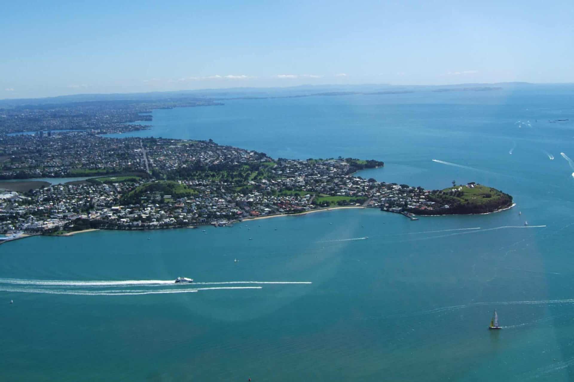
Maungauika / North Head
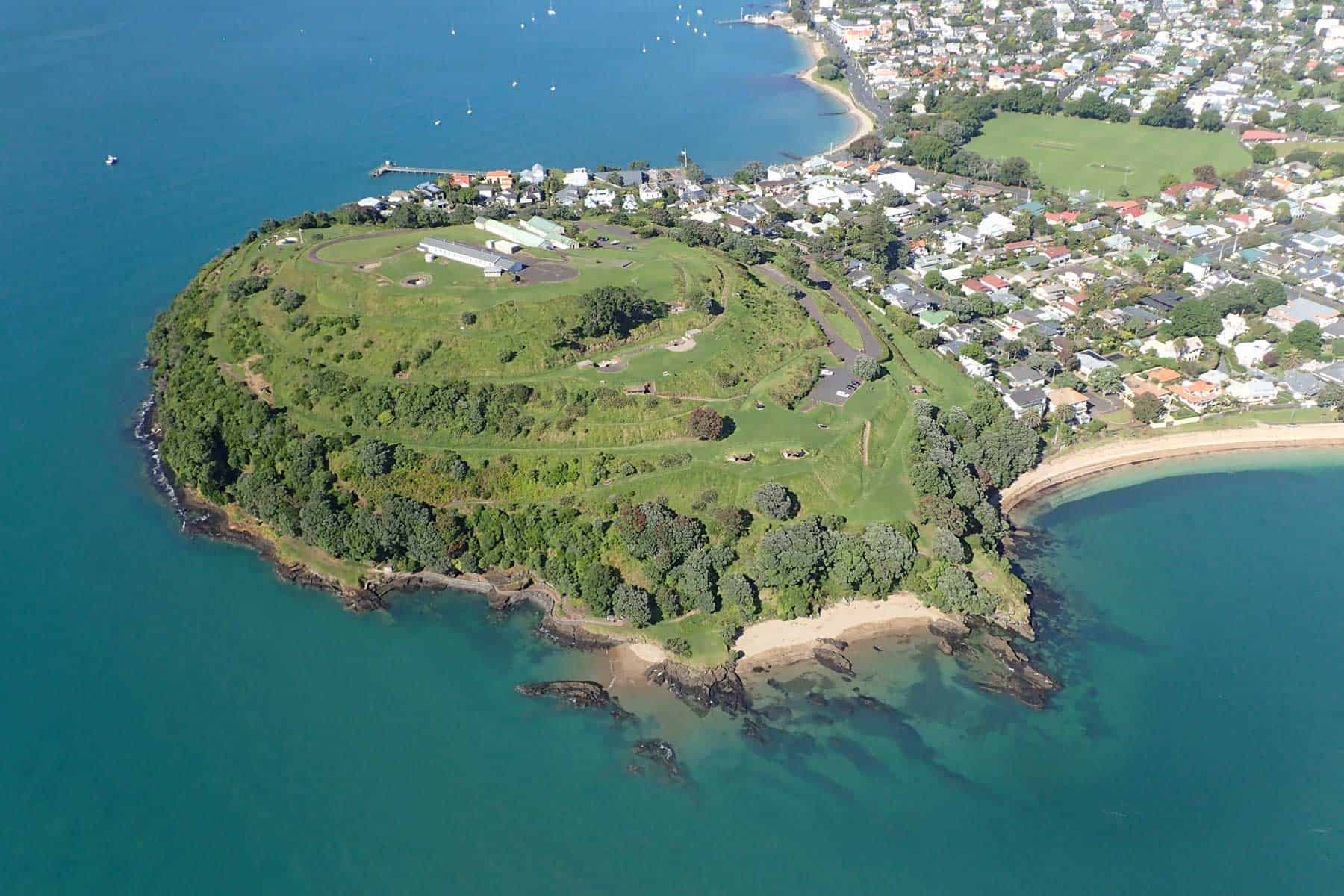
Maungauika is one of our older volcanoes, having erupted roughly 90,000 years ago, when sea level may have been a few tens of metres lower than today. It began life with a series of pulsating wet explosive eruptions interspersed with drier eruptions of scoria. This ash and scoria built up a small tuff cone around the central explosion crater, which was completely filled by the scoria cone. As the final scoria and lava bombs erupted, a small stream of lava flowed westwards and now lies hidden beneath the houses on Takarunga Road. The outward sloping tuff beds form the shore platform around the southern, eastern and most of the northern sides of the headland.
Human history
Maungauika, meaning the 'Mountain of Uika', traces back to ancestors who occupied it about 800 years ago. More information is available at The Tupuna Maunga Authority website.
European visitors in the 1850’s describe a Māori settlement at the foot of Maungauika with organised gardens and areas for processing fish.
After colonisation, Maungauika’s strategic location at the entrance to the Waitematā Harbour made it an important coastal defence site. Development of the defensive fort began far before WWII, with construction beginning as early as the 1880s due to fears of a Russian attack. A second phase of development occurred leading up to and during WWII, with additional tunnels and gun batteries built on the mountain.
Takarunga / Mt Victoria
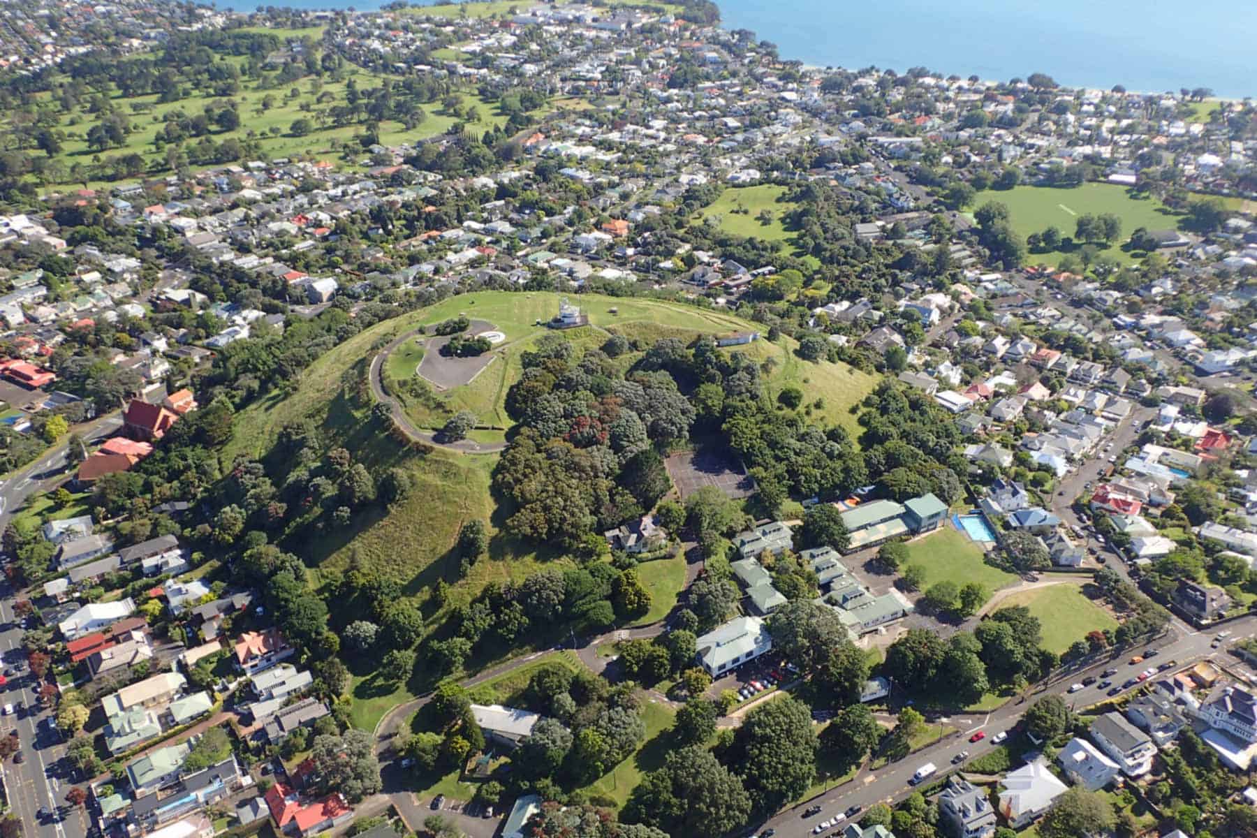
Takarunga / Mount Victoria is the highest volcano on Auckland’s North Shore at 82m. It was formed by fire-fountaining of frothy scoria around 35,000 years ago. Its lava flows now line much of Devonport’s waterfront.
Human history
Pre-colonisation, Takarunga or ‘the hill standing above’ was the location of an important pā. More information is available at The Tupuna Maunga Authority website.
French navigator Jules Dumont d’Urville climbed the hill in 1827, and it was given the name Mount Victoria (after Queen Victoria) by early settlers.
In 1841 a signal station was constructed on the peak, to better facilitate traffic to the Port of Auckland, and in 1880 the hill became a public reserve. In 1885, a gun fort was constructed on the peak, which was in use until after World War II.
Takararo / Mount Cambria
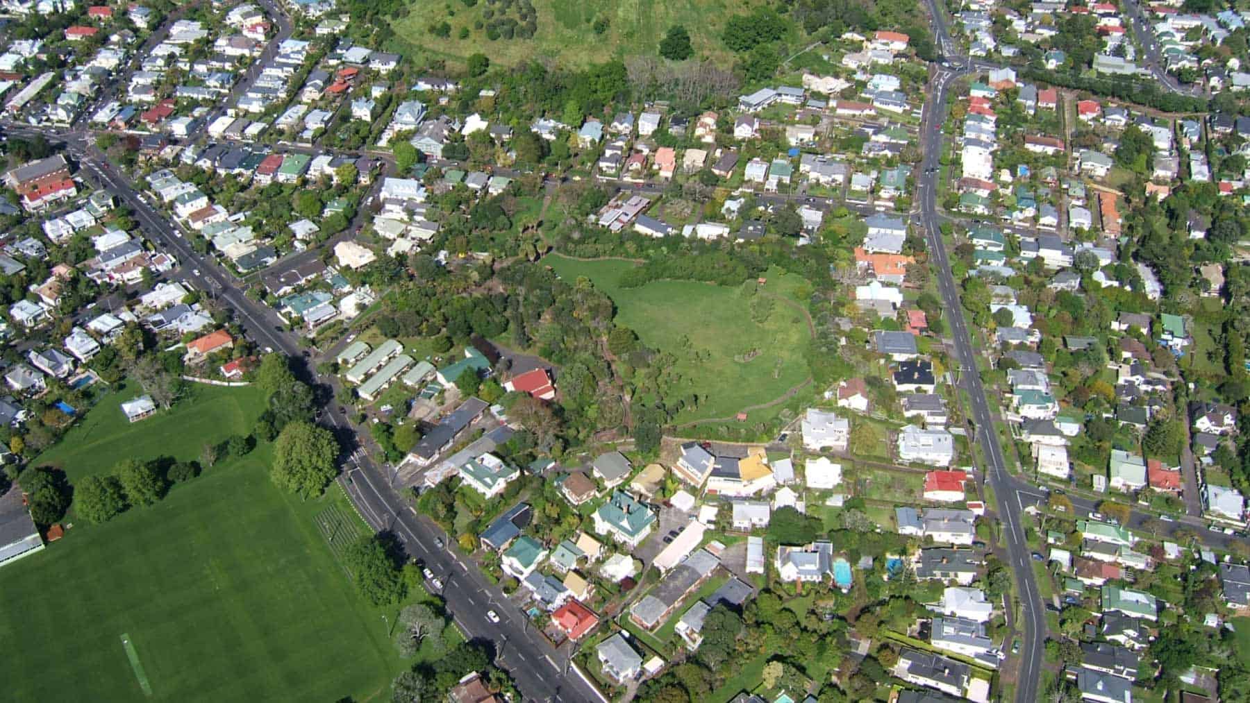
Mount Cambria was once about 30m tall. It was formed by fire-fountaining of frothy scoria around 35,000 years ago. It stood where present-day Mount Cambria Reserve is and was also sometimes called Sheep Hill.
Human history
The hill was traditionally known as Takararo ‘the hill standing below’, contrasting with the larger Takarunga / Mount Victoria ‘the hill standing above’. Post European settlement it was initially named Heaphy Hill after Charles Heaphy by Ferdinand von Hochstetter in 1859, but there is no other record of this name being used.
The hill was extensively quarried between the 1870s and 1977, initially by private contractors and later by the Devonport Borough Council.