
Ōhuiarangi / Pigeon Mountain
This mountain was formed by volcanic eruptions 23,350 years ago. It began with wet explosive eruptions that built a 500-metre-wide crater with a surrounding tuff ring. The higher northern and eastern crest of the tuff ring is still recognisable between suburban houses on Half Moon Rise. A scoria cone was built by fountaining eruptions inside the explosion crater. As the cone was being formed, a small lava flow poured out from the breached crater on its north-western side and flowed 700 metres south-west down the valley.
Human history
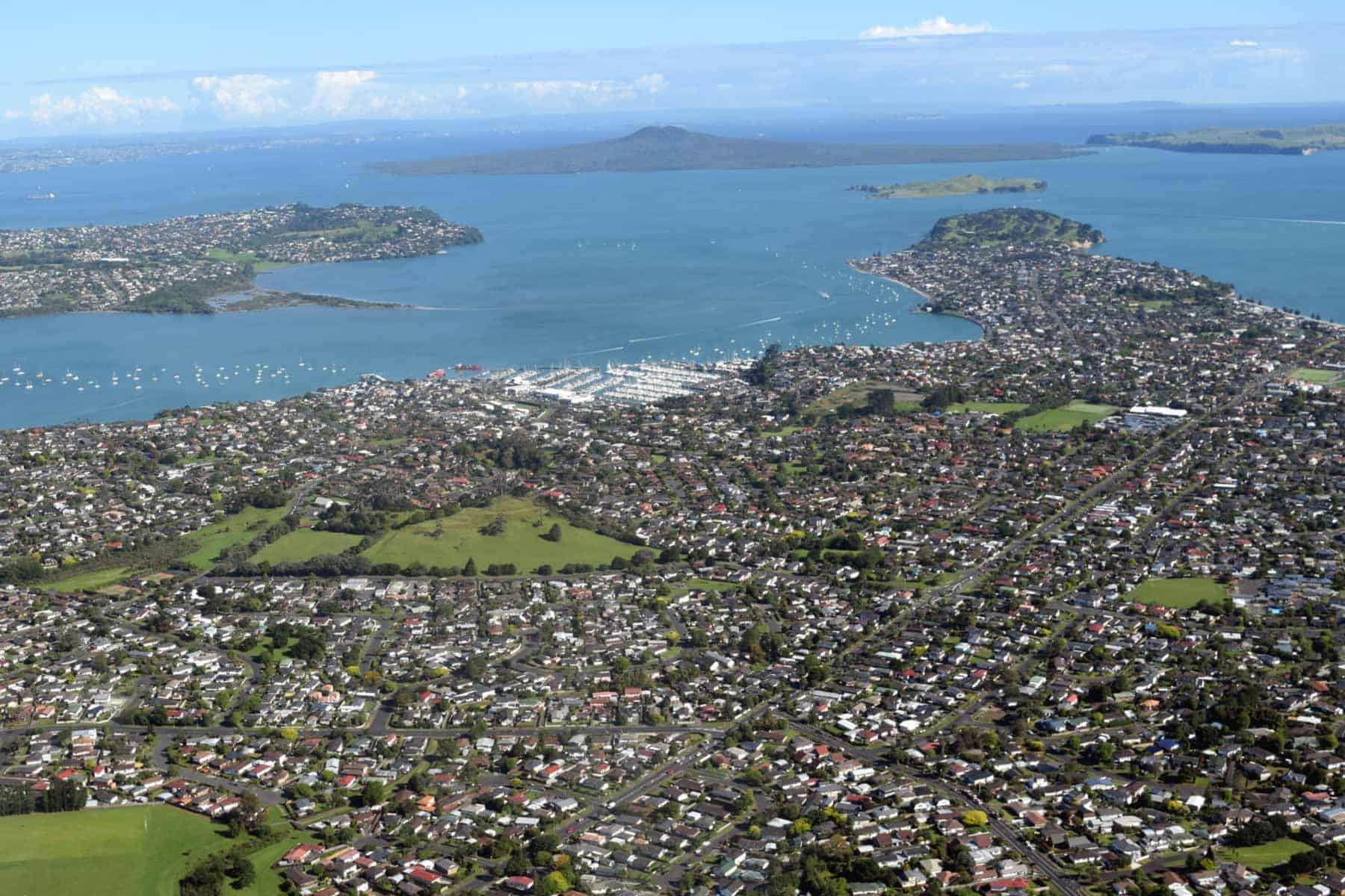
Ōhuiārangi means ‘the desire of Rangi and Pakuranga’. Some of the pre-European defensive earthworks (pā’s) still exist on the remnant scoria cone. Long, shallow boundary drains that separated Māori gardening areas are just visible in certain light, running down the eastern grass slope of the cone towards Gills Road. Terracing from the pā is still visible on the highest parts of the Maunga. More information is available at the Tūpuna Maunga Authority website.
The European name, Pigeon Mountain, comes from the large number of kererū, or native pigeon, that lived in the area in early European times.
The southern half of Ōhuiārangi was gazetted as Pakuranga Domain in 1881 under the control of a local domain board. Small-scale quarrying began in 1913 on the privately owned northern half. The scale of quarrying escalated in the 1950s after the closure of the Maungarei / Mount Wellington scoria quarry to service the growth of suburban subdivisions east of the Tāmaki Estuary. After a major campaign to stop quarrying, it finally ceased in the 1970s, but half the cone had been removed.
Styaks Swamp Crater
Styak’s Swamp Crater is the northernmost and smallest of the line of four East Tāmaki volcanoes. It erupted 19,100 years ago, soon after Matanginui / Green Mount to the south. The short-lived, pulsating, wet, explosive eruptions built a low-profile tuff ring around a 250-metre-wide crater, with volcanic ash mantling the Matanginui lava flows that surrounded it to the north and west.
Unlike the other three East Tāmaki volcanoes, there were no dry fountaining eruptions or lava flows. The crater was originally about 30 metres deep, and soon after formation, it filled up with rainwater, becoming a small freshwater lake with an overflow creek across the lowest rim of the tuff ring to the north. Over thousands of years, the lake filled with sediment, eventually becoming a swamp.
Human history
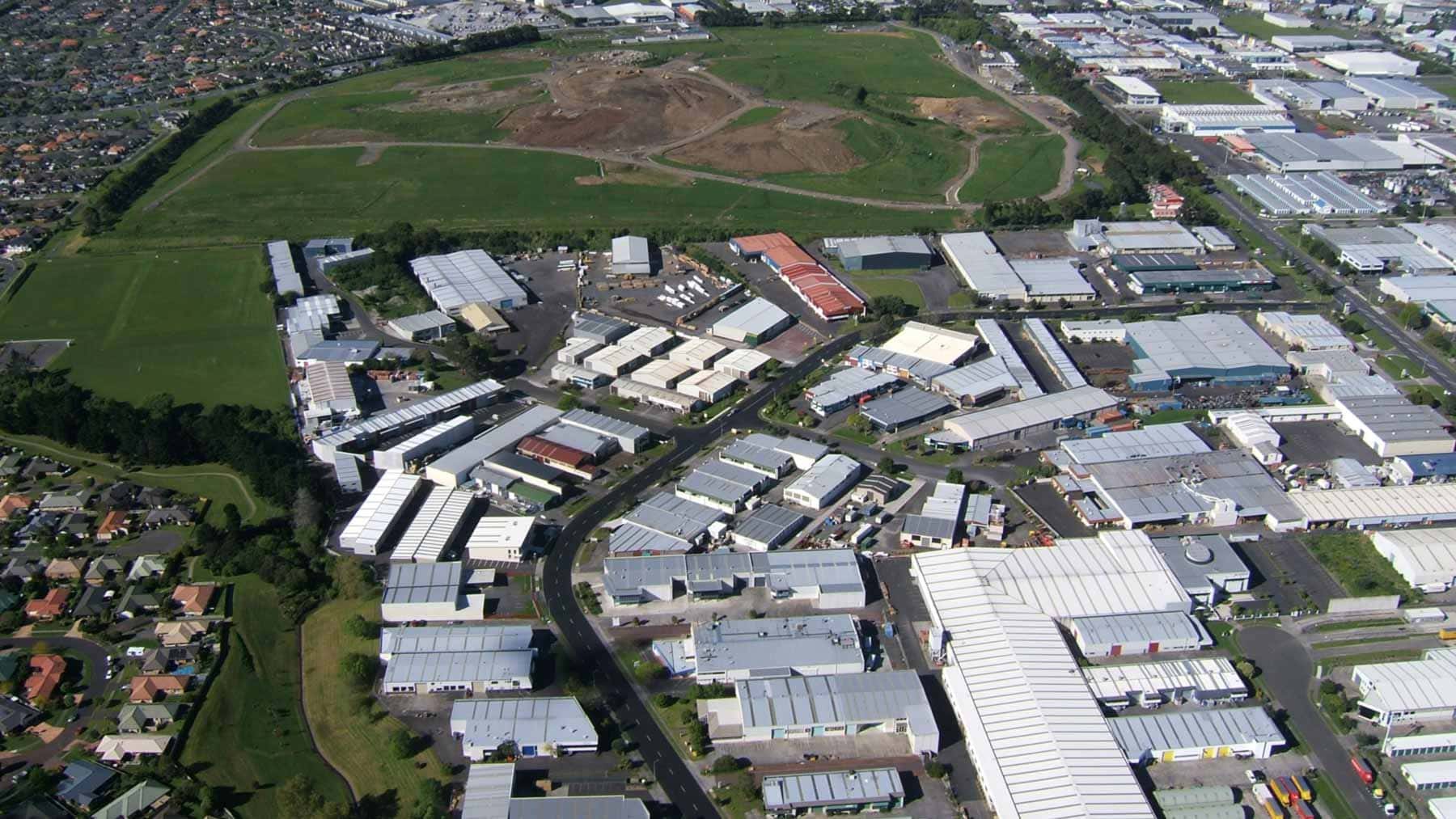
Styaks Swamp Crater was named after an early European landowner, John Styak. The swamp was still present and clearly recognisable before the industrial subdivision of Greenmount Drive in the 1980s. Today, the explosion crater is difficult to identify as it has been modified and partially filled during preparations for industrial development.
Matanginui / Green Mount
This volcano erupted about 19,600 years ago, beginning with wet explosive eruptions that built a surrounding tuff ring with the highest part forming the eastern arc, the gentler outer slopes of which still remain. Inside this wide crater, subsequent fountaining built a 60-metre-high main scoria cone capped by a small central crater and a smaller scoria mound to the east. Lava emanating from around the base of the scoria cone initially flooded the moat between it and the tuff ring before spilling north and west. Molten lava spread over a wide area of low-lying ground, creating several lava caves.
Human history
The meaning of Matanginui is ‘big wind’ or ‘breeze’, referring to the strong air currents that sometimes sweep the cone.
The earliest European name for Green Mount was Bessy Bell. The 40-hectare volcano was bequeathed to the former Manukau City Council in 1932 by Sarah Lushington, the daughter of the first Pākehā owner, John Styak, with her wish that it become a public park and recreation ground named Styak-Lushington Park.
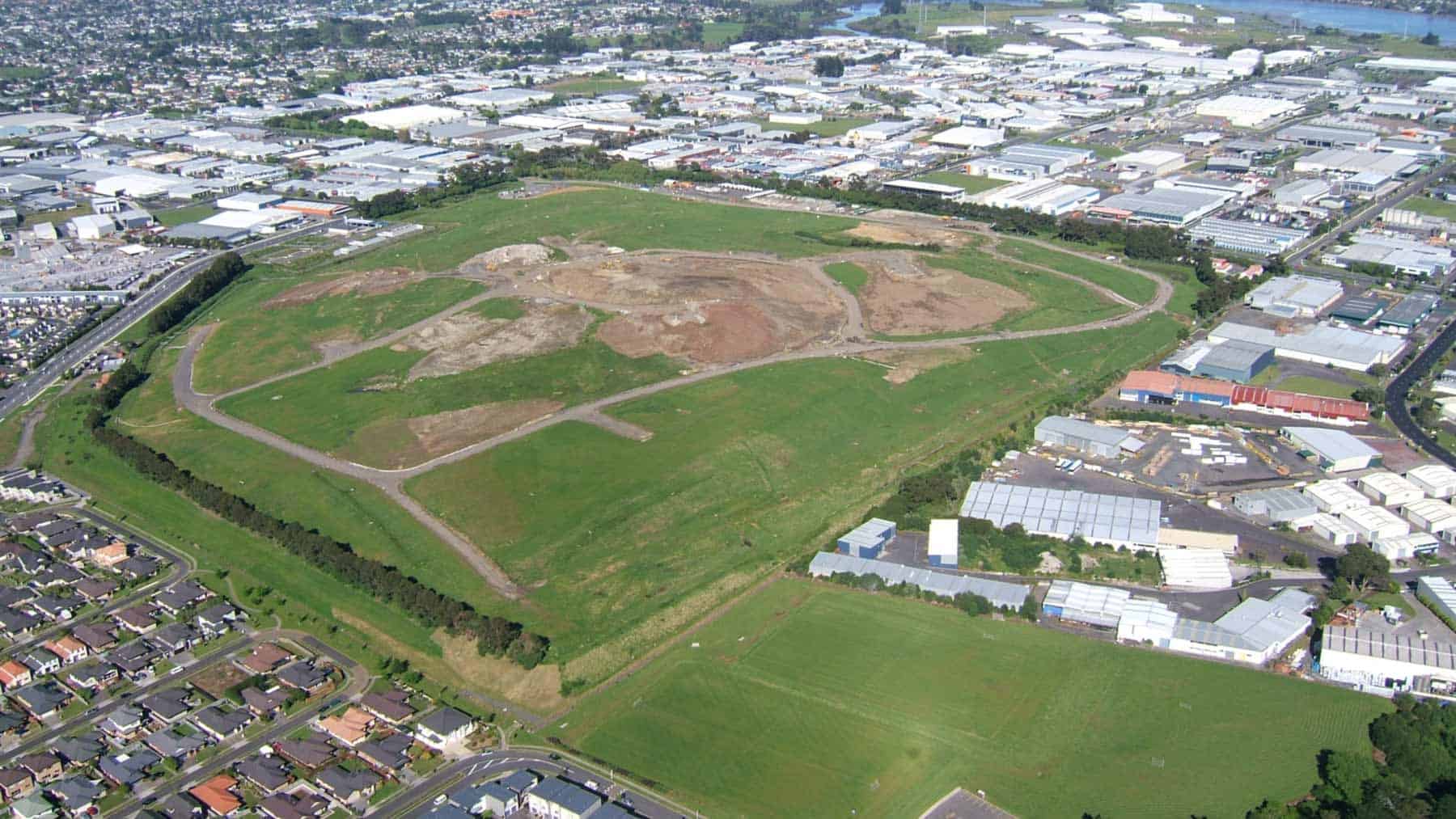
Minor quarrying of the scoria cone began around 1870 but did not start in earnest until 1964. By 1990, it had been completely removed. Extensive areas of the maunga’s lava flows were also quarried before the construction of the industrial subdivision that now hides most traces of them.
The quarry subsequently became a large landfill, and now a grass-covered, gently sloping hill stands in place of the former Matanginui volcano and fills the entire depression that was once the explosion crater. From the summit of the new hill, there are sweeping views across South Tāmaki Makaurau to the Manukau and Waitematā harbours.
Te Puke-o-Taramainuku / Ōtara Hill
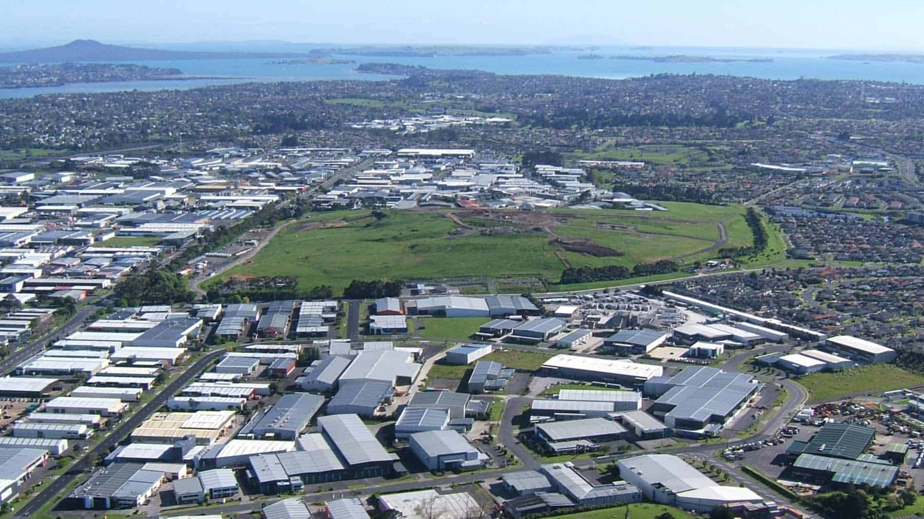
This volcano erupted 56,500 years ago. The initial explosive eruptions of the Te Puke-o-Taramainuku Volcano built a tuff ring around a 500-metre-wide crater. Westerly winds resulted in most of the ash accumulating as a curved eastern tuff ring, and this still exists. Dry fountaining eruptions built a large 60-metre-high scoria cone in the middle of the explosion crater, leaving a moat between the main cone and the tuff ring.
Lava flowed from the southeast base of the scoria cone, creating a U-shaped breached crater. This lava rafted parts of the cone out into the moat where they came to rest as four small scoria mounds. The lava partly filled the moat and spilled southwestwards into the explosion crater of the adjacent Hampton Park Volcano.
Human history
The modern name Ōtara is derived from the full te reo Māori name of Te Puke-o-Taramainuku, meaning ‘the Hill of Taramainuku’, a Tainui ancestor. Earlier English names included Mary Grey and Smales Mountain, after the 19th-century owner, the Rev. Gideon Smales
Quarrying began on Te Puke-o-Taramainuku in 1955, and by 2002, all traces of the scoria cone’s mounds and basaltic lava had been removed, mostly by W. Stevenson and Sons.
Hampton Park Volcano
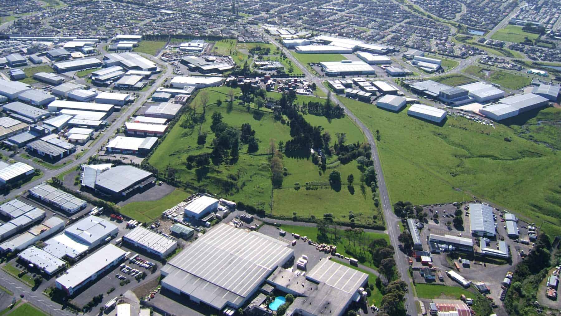
Hampton Park volcano erupted 57,000 years ago, with the earliest eruptions forming a 350-metre-wide explosion crater surrounded by a tuff ring. You can still see the south and east sides of this ring today. Later, fiery explosive eruptions constructed a small 12-metre-high, partly welded scoria cone in the centre of the explosion crater. The cone is unusual for the large amount of lava it contains, presumably fountaining out and landing on the growing hill while still molten. Lava also flowed out over the surrounding low-lying land, partially filling the moat between the cone and tuff ring before overtopping the low tuff ring to the west.
A lava flow from nearby Te Puke-o-Taramainuku / Ōtara Hill later overtopped Hampton Park’s low tuff ring in the north and flowed around the west side of the cone.
Human history
There is no known te reo Māori name specifically for this small volcano. However, it was occupied and defended as a pā. The volcano is named Hampton Park (formerly Church Cone) after the homestead of its 19th-century owner, the Rev. Gideon Smales. Smales immigrated to New Zealand as a Wesleyan missionary in 1840. On leaving the service, he purchased this land, which included neighbouring Ōtara Hill, in 1851 and established a thriving farm and homestead. The property remained in his family until it was bequeathed to the Salvation Army in 1971 and later sold to Manukau City for a reserve.
Quarrying in the 19th century removed the heart of the cone but its lower slopes, with Māori terracing, remain and give a good indication of its location and size.
In the 1950s, European visitors Charles Heaphey and Ferdinand von Hochstetter thought Hampton Park volcano was part of Ōtara Hill and did not recognise it as a separate volcano.
Loose basalt on the surface of the flows was cleared for farming and used by Yorkshire stonemason James Stewart to build eight kilometres of stone walls between the paddocks on Smales' farm.
The Little St. John’s Basalt Church and the Reverend Gideon Smales Homestead and Basalt Stables were built on the crest of the tuff ring. The original homestead burned down in 1940 and was replaced by the present building. The stables were also destroyed by fire, but some stone walls still stand. Remains of a sunken rock garden constructed by Smales' gardener, ‘Old Campbell’, lie beneath trees in the bottom of the explosion crater east of the small cone.
Pukewairiki / Highbrook Park
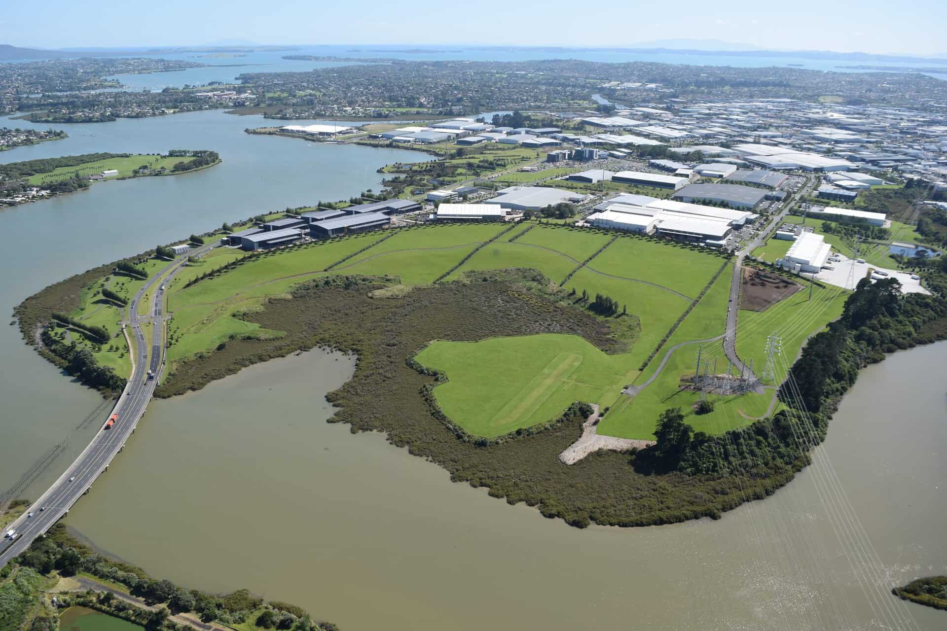
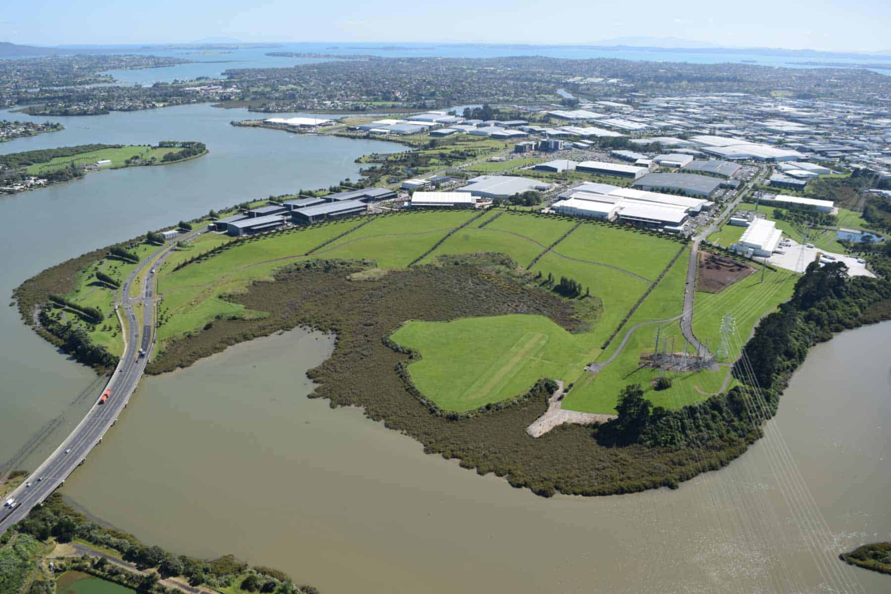
This volcano erupted at least 130,000 years ago and consists of a large explosion crater, partly surrounded to the north and east by a high tuff ring mound. A second, much smaller satellite explosion crater is located 500 metres to the east on the banks of Ōtara Creek. Geophysical studies by graduate student Sian France found solid basalt lying at a shallow depth beneath the floor of Pukewairiki’s main explosion crater. This is probably a solidified lava lake or ponded lava flows that partly filled the crater during the last phase of eruption. Along the edge of the Tāmaki Estuary, there is a 10-metre-high terrace that was probably eroded out of the side of the tuff ring by the sea when sea level was higher than present during the Last Interglacial period, about 125,000 years ago. Tectonic uplift may well have contributed to the present height of the terrace. It was probably at this time that the sea also breached and began to erode the south side of the explosion crater.
Human history
In te reo Māori, Pukewairiki, aptly means ‘the hill with the associated small lagoon’. For some time, the crater was wrongly known as Pukekiwiriki, which may be better applied to the remnant older volcano at Red Hill, 10 km to the south at Papakura.
The volcano has no European name and was not recognised as a volcano by Europeans until the 1950s.
In 2005, Sir Woolf Fisher’s Rāora Racehorse stud farm became Highbrook Business Park. In 2007, Pukewairiki Crater was opened to the public as a reserve within the developing industrial subdivision.
Today, the crater floor is mostly filled with salt marsh and mangrove forest. Seawater level never drops far during the tidal cycle because a high weir has been built across the mouth of Ōtara Creek. This provided a supply of cooling water for the now decommissioned Ōtāhuhu gas-fired power station, which stood on the southern bank opposite the park.